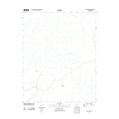
2011 Map of Mount Bangs
USGS Topo · Published 2011About this map
Mount Bangs and Black Rock Mountain dominate this corner of Mohave County, where the high desert landscape is defined by its vital water sources. The 2011 survey reveals an environment where survival once depended on finding reliable water at points like Lost Spring, Sullivans Spring, and Quaking Asp Spring. These natural features, along with the drainage of Tom and Gull Wash, suggest a terrain shaped by seasonal water flow and high-elevation landmarks. While human settlement is sparse, the map documents the essential natural landmarks used by ranchers and early travelers to navigate this portion of the Arizona Strip.
Find a feature on this map
6 named features on this map. Tap any name to fly to it.
Don’t see what you’re looking for? This feature index may not catch every label — zoom into the map to look around manually.
Map Details
Editions of this 2011 Mount Bangs Map
This is the sole edition of this map. No revisions or reprints were ever made.
Other maps of this area

1886 · Mt. Trumbull
USGS Topo · 1:250,000

1892 · Mt. Trumbull
USGS Topo · 1:250,000

1953 · Grand Canyon
USGS Topo · 1:250,000

1954 · Wolf Hole Mtn. NW
USGS Topo · 1:24,000

1954 · Littlefield 3 NE
USGS Topo · 1:24,000

1954 · Littlefield
USGS Topo · 1:62,500

1954 · Cane Springs
USGS Topo · 1:62,500

1957 · Grand Canyon
USGS Topo · 1:250,000

1958 · Grand Canyon
USGS Topo · 1:250,000

1960 · Grand Canyon
USGS Topo · 1:250,000