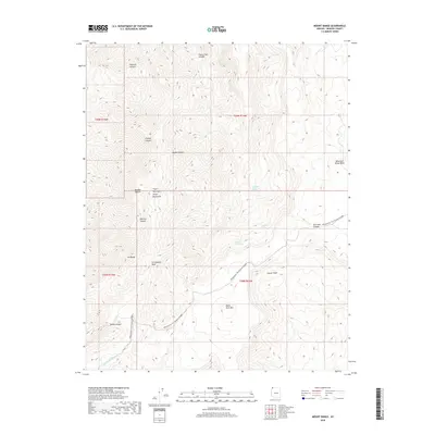
2018 Map of Mount Bangs
USGS Topo · Published 2018About this map
The Virgin Mountains dominate this high-desert landscape in Mohave County, where steep drainages like Frehner Canyon and Hancock Canyon carve into the western edge of the Colorado Plateau. At the center of the region sits Mt Bangs, a prominent peak overlooking the northeastern reach of the Mojave Desert. The map reveals a reliance on isolated water sources such as Quaking Asp Spring, Gates and Mullen Spring, and Lost Spring, which have long served as critical waypoints in this arid environment.
Find a feature on this map
23 named features on this map. Tap any name to fly to it.
Don’t see what you’re looking for? This feature index may not catch every label — zoom into the map to look around manually.
Map Details
Editions of this 2018 Mount Bangs Map
This is the sole edition of this map. No revisions or reprints were ever made.
Other maps of this area

1886 · Mt. Trumbull
USGS Topo · 1:250,000

1892 · Mt. Trumbull
USGS Topo · 1:250,000

1953 · Grand Canyon
USGS Topo · 1:250,000

1954 · Wolf Hole Mtn. NW
USGS Topo · 1:24,000

1954 · Littlefield 3 NE
USGS Topo · 1:24,000

1954 · Littlefield
USGS Topo · 1:62,500

1954 · Cane Springs
USGS Topo · 1:62,500

1957 · Grand Canyon
USGS Topo · 1:250,000

1958 · Grand Canyon
USGS Topo · 1:250,000

1960 · Grand Canyon
USGS Topo · 1:250,000