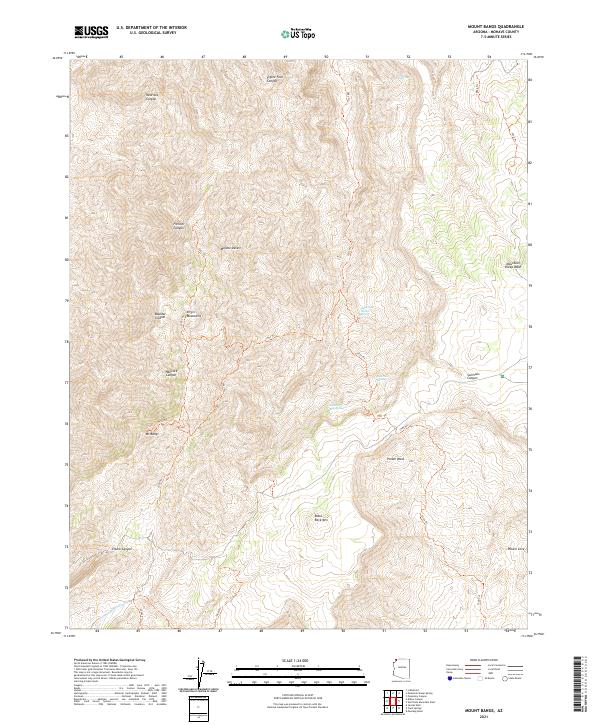
2021 Map of Mount Bangs
USGS Topo · Published 2021About this map
Mt Bangs dominates this high-elevation corner of the Virgin Mountains, where the extreme northeastern edge of the Mojave Desert meets the Arizona Strip. The landscape is defined by a complex network of steep drainages including Frehner Canyon, Boulder Canyon, and Hancock Canyon. Isolated water sources such as Gates and Mullen Spring and Quaking Asp Spring provided vital support for ranching and travel in this arid environment. The map details an intricate system of numbered backcountry routes, including 1551 Trl and 1503 Trl, which navigate the difficult terrain between Black Rock Mtn and the deep recesses of Sullivans Canyon. To the south, the topography transitions toward the lowlands of Pocum Cove and the drainage of Tom and Cull Wash, illustrating the dramatic vertical relief characteristic of the Mohave County highlands.
Find a feature on this map
29 named features on this map. Tap any name to fly to it.
Don’t see what you’re looking for? This feature index may not catch every label — zoom into the map to look around manually.
Map Details
Editions of this 2021 Mount Bangs Map
This is the sole edition of this map. No revisions or reprints were ever made.
Other maps of this area

1886 · Mt. Trumbull
USGS Topo · 1:250,000

1892 · Mt. Trumbull
USGS Topo · 1:250,000

1953 · Grand Canyon
USGS Topo · 1:250,000

1954 · Wolf Hole Mtn. NW
USGS Topo · 1:24,000

1954 · Littlefield 3 NE
USGS Topo · 1:24,000

1954 · Littlefield
USGS Topo · 1:62,500

1954 · Cane Springs
USGS Topo · 1:62,500

1957 · Grand Canyon
USGS Topo · 1:250,000

1958 · Grand Canyon
USGS Topo · 1:250,000

1960 · Grand Canyon
USGS Topo · 1:250,000