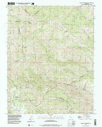
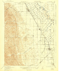
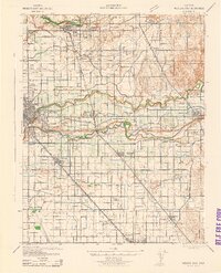
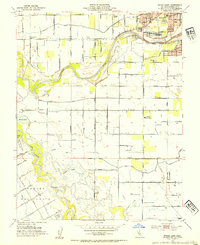
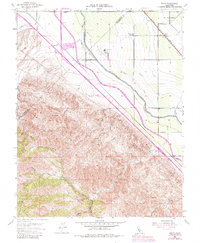
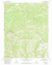
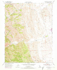
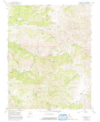
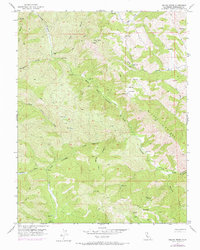
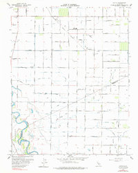
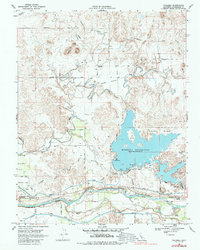
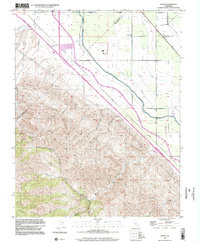
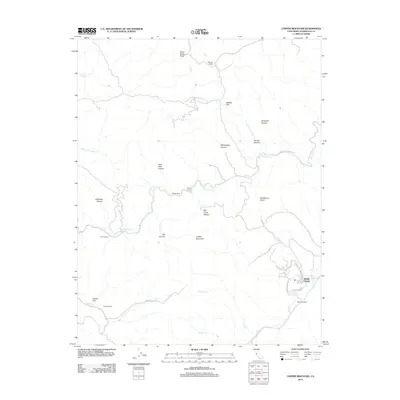
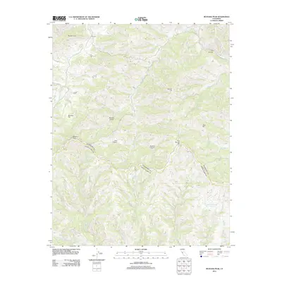
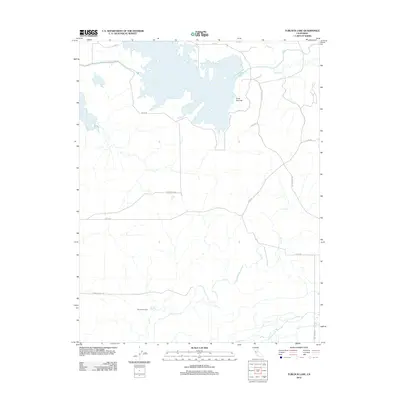
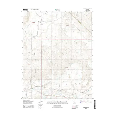
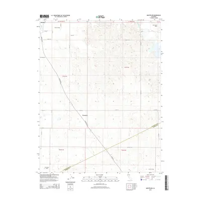
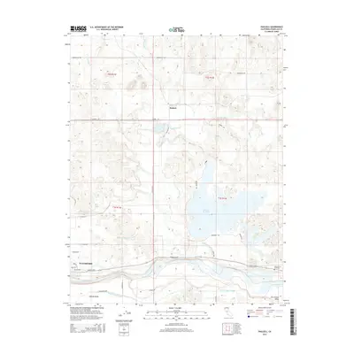
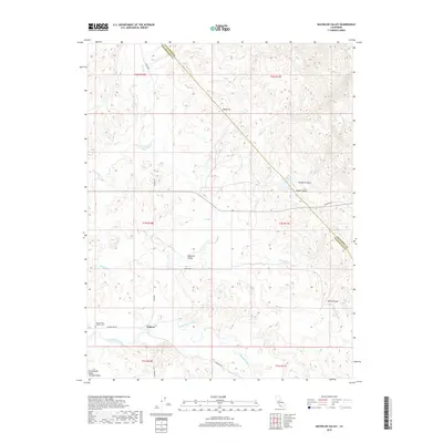
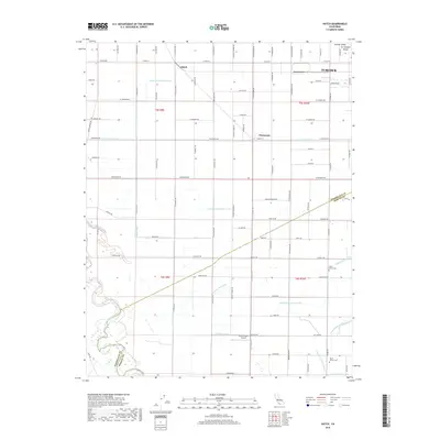
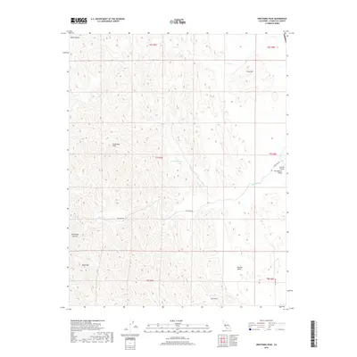
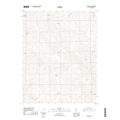
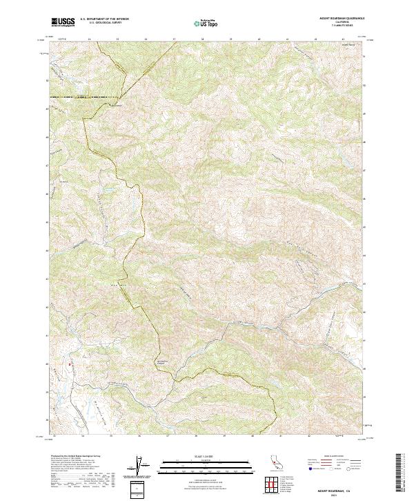
1996 Map of Mount Boardman
USGS Topo · Published 1999About this map
Mount Boardman towers over a complex junction of four California counties where the Diablo Range divides Santa Clara, Stanislaus, Alameda, and San Joaquin. This high-elevation terrain is defined by its isolation and specialized land use, containing the Naval Bombing Range in the southeast and the remote San Antonio Ranger Station further west. Settlement is nearly non-existent, represented primarily by the Harney School and the Stanislaus County Ranch, suggesting a landscape of scattered homesteads and seasonal ranching rather than concentrated townships.
Find a feature on this map
40 named features on this map. Tap any name to fly to it.
Don’t see what you’re looking for? This feature index may not catch every label — zoom into the map to look around manually.
Map Details
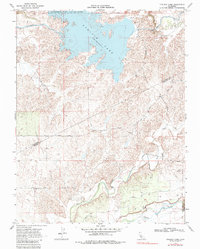
Editions of this 1996 Mount Boardman Map
This is the sole edition of this map. No revisions or reprints were ever made.
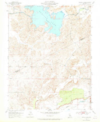
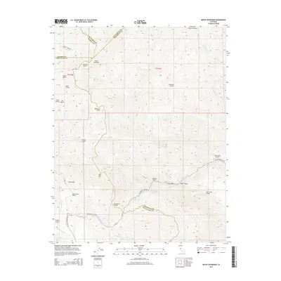
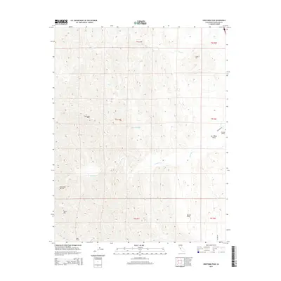
Historical Maps of Santa Clara County Through Time
99 maps found

1913 Dickenson
Stanislaus County, CA

1913 Romain
Stanislaus County, CA
1915 Paulsell
Stanislaus County, CA

1915 Westport
Stanislaus County, CA

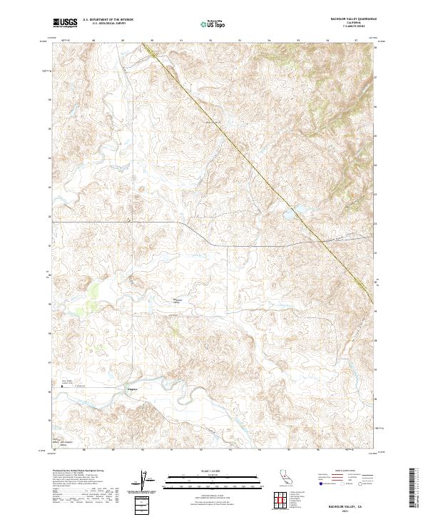
1916 Bachelor Valley
Stanislaus County, CA

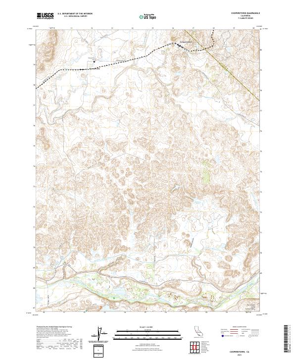
1916 Cooperstown
Stanislaus County, CA

1916 Mitchell School
Stanislaus County, CA

1916 Montpellier
Stanislaus County, CA
1916 Romain
Stanislaus County, CA

1916 Three Tree Flat
Stanislaus County, CA
1919 Orestimba Creek
Stanislaus County, CA
1919 Orestimba
Stanislaus County, CA
1938 Mt. Boardman
Stanislaus County, CA

1939 Modesto East
Stanislaus County, CA
1941 Modesto West
Stanislaus County, CA
1941 Orestimba
Stanislaus County, CA
1942 Modesto East
Stanislaus County, CA

1942 Mt. Boardman
Stanislaus County, CA
1943 Mt. Boardman
Stanislaus County, CA
1948 Mitchell School
Stanislaus County, CA
1953 Bachelor Valley
Stanislaus County, CA
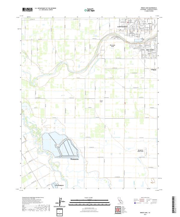
1953 Brush Lake
Stanislaus County, CA
1953 Cooperstown
Stanislaus County, CA
1953 Montpelier
Stanislaus County, CA
1953 Paulsell
Stanislaus County, CA
1953 Solyo
Stanislaus County, CA
1953 Turlock Lake
Stanislaus County, CA
1955 Crevison Peak
Stanislaus County, CA
1955 Mt. Boardman
Stanislaus County, CA
1955 Mustang Peak
Stanislaus County, CA
1955 Orestimba Peak
Stanislaus County, CA
1956 Copper Mtn
Stanislaus County, CA
1956 Wilcox Ridge
Stanislaus County, CA
1962 Hatch
Stanislaus County, CA
1968 Bachelor Valley
Stanislaus County, CA
1968 Cooperstown
Stanislaus County, CA
1968 Montpelier
Stanislaus County, CA
1968 Paulsell
Stanislaus County, CA
1968 Turlock Lake
Stanislaus County, CA
1969 Brush Lake
Stanislaus County, CA
1991 Solyo
Stanislaus County, CA
1996 Mount Boardman
Stanislaus County, CA
1999 Solyo
Stanislaus County, CA
2012 Bachelor Valley
Stanislaus County, CA
2012 Brush Lake
Stanislaus County, CA
2012 Cooperstown
Stanislaus County, CA
2012 Copper Mountain
Stanislaus County, CA

2012 Crevison Peak
Stanislaus County, CA
2012 Hatch
Stanislaus County, CA
2012 Montpelier
Stanislaus County, CA
2012 Mount Boardman
Stanislaus County, CA
2012 Mustang Peak
Stanislaus County, CA
2012 Orestimba Peak
Stanislaus County, CA
2012 Paulsell
Stanislaus County, CA
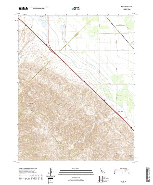
2012 Solyo
Stanislaus County, CA
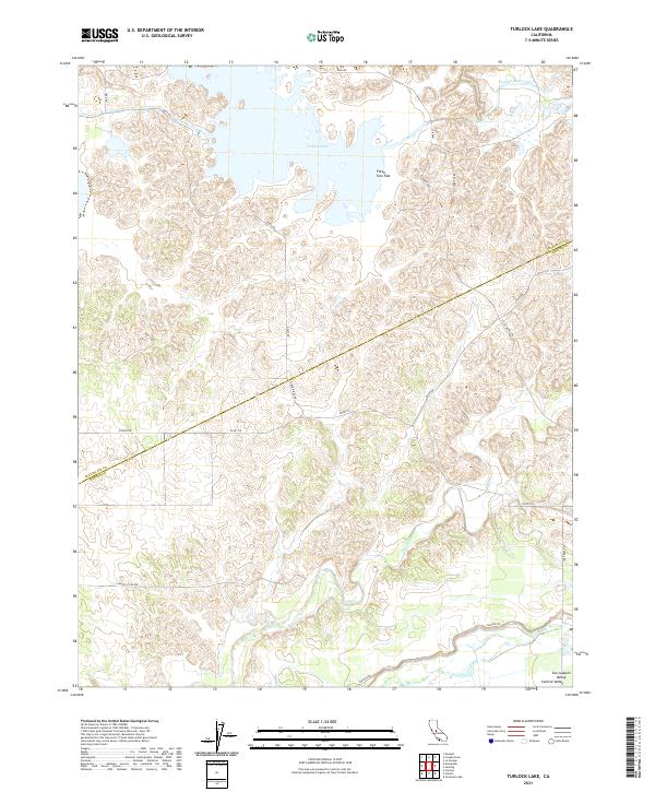
2012 Turlock Lake
Stanislaus County, CA
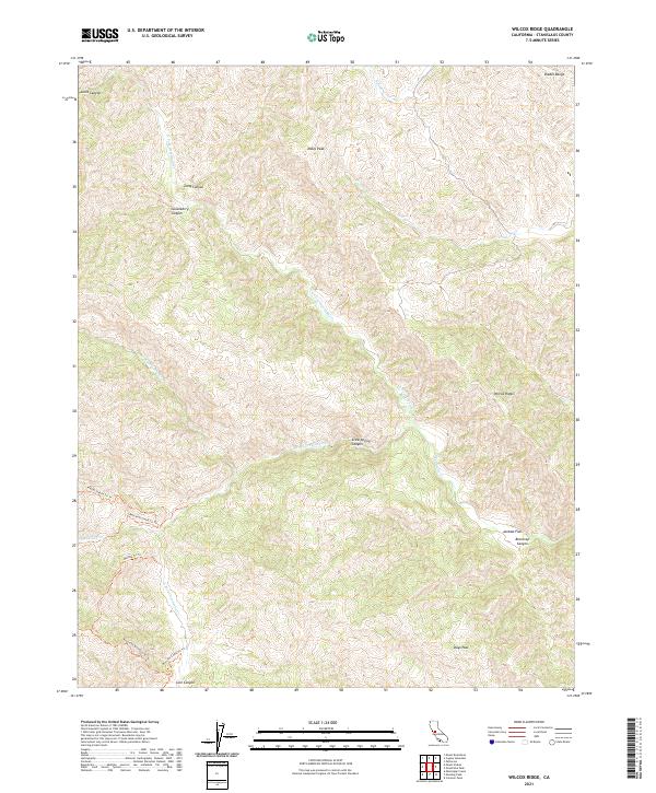
2012 Wilcox Ridge
Stanislaus County, CA
2015 Bachelor Valley
Stanislaus County, CA
2015 Brush Lake
Stanislaus County, CA
2015 Cooperstown
Stanislaus County, CA
2015 Copper Mountain
Stanislaus County, CA
2015 Crevison Peak
Stanislaus County, CA
2015 Hatch
Stanislaus County, CA
2015 Montpelier
Stanislaus County, CA
2015 Mount Boardman
Stanislaus County, CA
2015 Mustang Peak
Stanislaus County, CA
2015 Orestimba Peak
Stanislaus County, CA
2015 Paulsell
Stanislaus County, CA
2015 Solyo
Stanislaus County, CA
2015 Turlock Lake
Stanislaus County, CA
2015 Wilcox Ridge
Stanislaus County, CA
2018 Bachelor Valley
Stanislaus County, CA

2018 Brush Lake
Stanislaus County, CA
2018 Cooperstown
Stanislaus County, CA
2018 Copper Mountain
Stanislaus County, CA
2018 Crevison Peak
Stanislaus County, CA
2018 Hatch
Stanislaus County, CA
2018 Montpelier
Stanislaus County, CA
2018 Mount Boardman
Stanislaus County, CA
2018 Mustang Peak
Stanislaus County, CA
2018 Orestimba Peak
Stanislaus County, CA
2018 Paulsell
Stanislaus County, CA
2018 Solyo
Stanislaus County, CA
2018 Turlock Lake
Stanislaus County, CA
2018 Wilcox Ridge
Stanislaus County, CA
2021 Bachelor Valley
Stanislaus County, CA
2021 Brush Lake
Stanislaus County, CA
2021 Cooperstown
Stanislaus County, CA
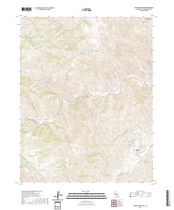
2021 Copper Mountain
Stanislaus County, CA
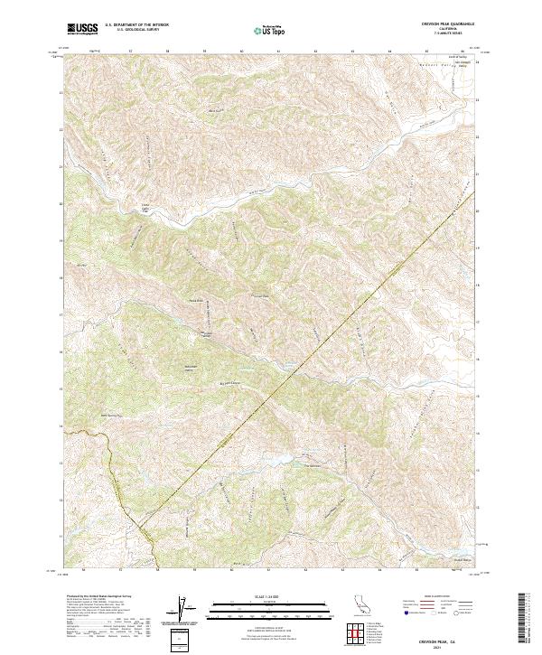
2021 Crevison Peak
Stanislaus County, CA
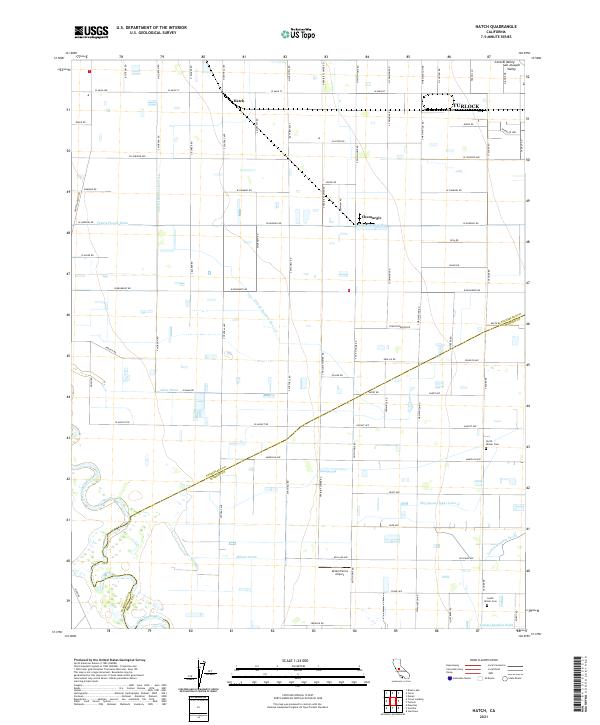
2021 Hatch
Stanislaus County, CA
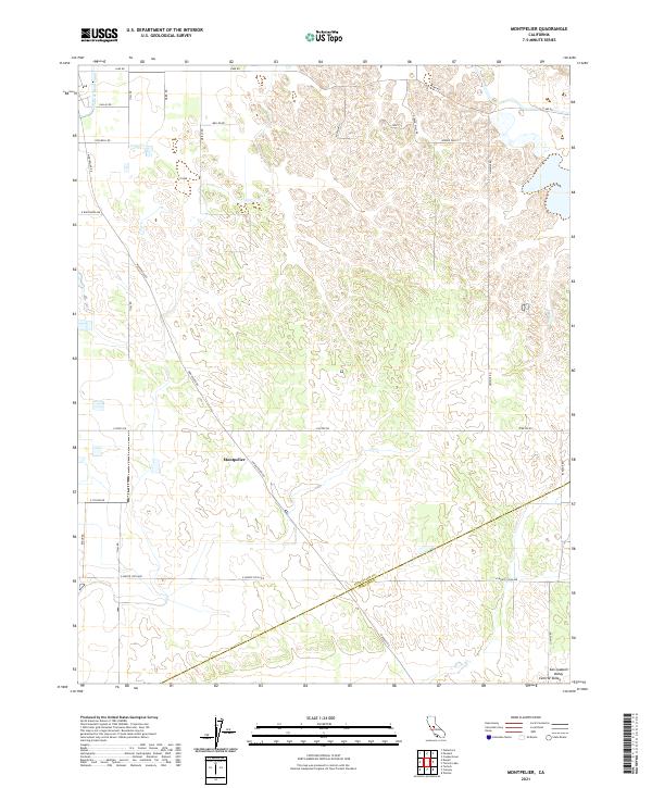
2021 Montpelier
Stanislaus County, CA
2021 Mount Boardman
Stanislaus County, CA
2021 Mustang Peak
Stanislaus County, CA
2021 Orestimba Peak
Stanislaus County, CA
2021 Paulsell
Stanislaus County, CA
2021 Solyo
Stanislaus County, CA
2021 Turlock Lake
Stanislaus County, CA
2021 Wilcox Ridge
Stanislaus County, CA