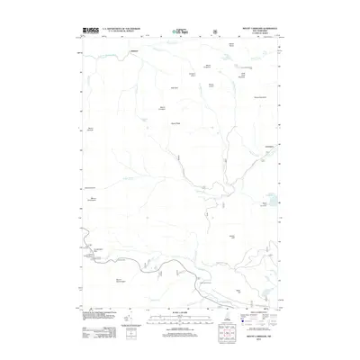
2012 Map of Mount Carrigain
USGS Topo · Published 2012About this map
Mount Carrigain and its prominent Signal Ridge dominate this interior section of the White Mountains, centered on the drainage of the Sawyer River and the Swift River. The map documents a landscape defined by its high peaks and deep notches, such as Carrigain Notch and Hancock Notch, which have long shaped movement through this part of Grafton and Carroll Counties. Though primarily a wilderness region by the early 21st century, the map marks the site of Stillwater at the headwaters of the E Br Pemigewasset River and the former logging center of Livermore along Livermore Rd. Modern recreational infrastructure is well-established, including the Sawyer Pond Trail Shelter and numerous overlooks like Pemi Overlook and Sugar Hill Overlook. The hydrography is particularly detailed, tracing the steep descent of Nancy Brook through the Nancy Cascades and the high-elevation Carrigain Pond.
Find a feature on this map
54 named features on this map. Tap any name to fly to it.
Don’t see what you’re looking for? This feature index may not catch every label — zoom into the map to look around manually.
Map Details
Editions of this 2012 Mount Carrigain Map
This is the sole edition of this map. No revisions or reprints were ever made.
Other maps of this area

1895 · Crawford Notch
USGS Topo · 1:62,500

1896 · Crawford Notch
USGS Topo · 1:62,500

1928 · Plymouth
USGS Topo · 1:62,500

1929 · Franconia
USGS Topo · 1:62,500

1931 · Plymouth
USGS Topo · 1:62,500

1931 · Mt. Chocorua
USGS Topo · 1:62,500

1932 · Franconia
USGS Topo · 1:62,500

1946 · Crawford Notch
USGS Topo · 1:62,500

1949 · Portland
USGS Topo · 1:250,000
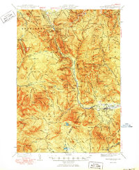
1950 · Crawford Notch
USGS Topo · 1:62,500