
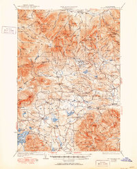
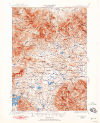
1931 Map of Mt. Chocorua
USGS Topo · Published 1931About this map
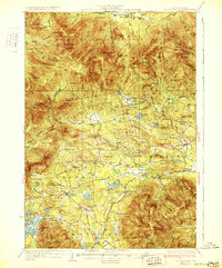
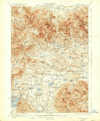
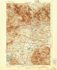
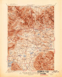
White Mountain National Forest dominates the northern half of this terrain, where steep peaks like Mt Chocorua and Mt Passaconaway tower over a landscape shaped by early 20th-century industry and conservation. The presence of the Beebe River RR and various Logging RR lines highlights the importance of the timber industry in the late 1920s, showing the reach of rail into the high country near Flat Mtn.
Find a feature on this map
97 named features on this map. Tap any name to fly to it.
Don’t see what you’re looking for? This feature index may not catch every label — zoom into the map to look around manually.
Map Details
Editions of this 1931 Mt. Chocorua Map
7 editions found
Other maps of this area

1894 · North Conway
USGS Topo · 1:62,500

1895 · Crawford Notch
USGS Topo · 1:62,500

1896 · Crawford Notch
USGS Topo · 1:62,500

1896 · North Conway
USGS Topo · 1:62,500

1909 · Winnepesaukee
USGS Topo · 1:62,500

1925 · Holderness
USGS Topo · 1:62,500

1927 · Holderness
USGS Topo · 1:62,500

1928 · Wolfeboro
USGS Topo · 1:62,500

1928 · Plymouth
USGS Topo · 1:62,500

1929 · Franconia
USGS Topo · 1:62,500