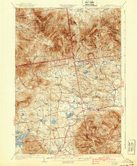
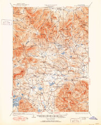
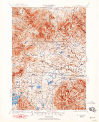
1931 Map of Mt. Chocorua
USGS Topo · Published 1940About this map
Passaconaway Lodge and the high ridges of the White Mountain National Forest dominate this 1928 survey, showing the intricate trail system that supported early mountain tourism and forestry. The map documents a transition from industrial activity to recreation, featuring sites like Paugus Mill alongside numerous hiking routes such as the Brook Trail and Lawrence River Trail. In the lower elevations, the agricultural and social fabric of the era is preserved through the locations of the Durgin School and Fellows School, as well as the Stevenson Cemetery near Tamworth. From the cluster of camps like Camp Heermance to the isolated Jim Liberty Shelter, the sheet captures the rugged character of the area before modern development, detailing the many named peaks from Mt Israel to the heights of Mt Chocorua.
Find a feature on this map
157 named features on this map. Tap any name to fly to it.
Don’t see what you’re looking for? This feature index may not catch every label — zoom into the map to look around manually.
Map Details
Editions of this 1931 Mt. Chocorua Map
7 editions found

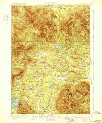
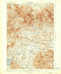
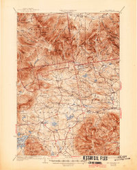
Other maps of this area

1894 · North Conway
USGS Topo · 1:62,500

1895 · Crawford Notch
USGS Topo · 1:62,500

1896 · Crawford Notch
USGS Topo · 1:62,500

1896 · North Conway
USGS Topo · 1:62,500

1909 · Winnepesaukee
USGS Topo · 1:62,500

1925 · Holderness
USGS Topo · 1:62,500

1927 · Holderness
USGS Topo · 1:62,500

1928 · Wolfeboro
USGS Topo · 1:62,500

1928 · Plymouth
USGS Topo · 1:62,500

1929 · Franconia
USGS Topo · 1:62,500