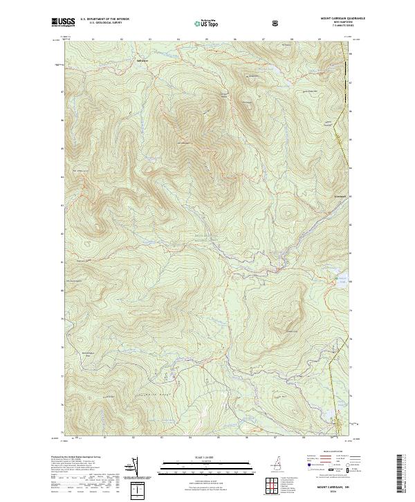
2024 Map of Mount Carrigain
USGS Topo · Published 2024About this map
The Pemigewasset Wilderness and the central peaks of the Sandwich Range dominate this 2024 map of the high country. Elevations center on Mount Carrigain and its prominent Signal Ridge, which overlooks the deep cut of Carrigain Notch. The map documents a landscape defined by preservation, where historic settlement names like Livermore and Stillwater now serve as markers within the White Mountain National Forest rather than active town centers.
Find a feature on this map
61 named features on this map. Tap any name to fly to it.
Don’t see what you’re looking for? This feature index may not catch every label — zoom into the map to look around manually.
Map Details
Editions of this 2024 Mount Carrigain Map
This is the sole edition of this map. No revisions or reprints were ever made.
Other maps of this area

1895 · Crawford Notch
USGS Topo · 1:62,500

1896 · Crawford Notch
USGS Topo · 1:62,500

1928 · Plymouth
USGS Topo · 1:62,500

1929 · Franconia
USGS Topo · 1:62,500

1931 · Plymouth
USGS Topo · 1:62,500

1931 · Mt. Chocorua
USGS Topo · 1:62,500

1932 · Franconia
USGS Topo · 1:62,500

1946 · Crawford Notch
USGS Topo · 1:62,500

1949 · Portland
USGS Topo · 1:250,000
1950 · Crawford Notch
USGS Topo · 1:62,500