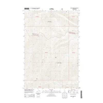
2013 Map of Mount George
USGS Topo · Published 2013About this map
Nez Perce National Forest and Bitterroot National Forest converge in this high-elevation Idaho landscape, defined by a series of steep drainages and mountain peaks. The geography is dominated by numerous watercourses, including the Gardiner Fork, Brushy Fork Cr, and Lookout Cr. Human infrastructure is sparse, restricted primarily to the Bad Luck Lookout Tower situated atop Bad Luck Mtn, a classic example of fire-detection systems in the American West. Significant landmarks such as Mt George, Cub Point, and Cedar Saddle punctuate the ridges, while the naming conventions of features like Bad Luck Cr, Fry-Pan Cr, and Wapiti Cr reflect the heritage of backcountry navigation and wildlife in this portion of Idaho County.
Find a feature on this map
24 named features on this map. Tap any name to fly to it.
Don’t see what you’re looking for? This feature index may not catch every label — zoom into the map to look around manually.
Map Details
Editions of this 2013 Mount George Map
This is the sole edition of this map. No revisions or reprints were ever made.
Other maps of this area

1911 · Lolo
USGS Topo · 1:250,000

1913 · Lolo
USGS Topo · 1:250,000

1956 · Elk City
USGS Topo · 1:250,000

1956 · Hamilton
USGS Topo · 1:250,000

1959 · Hamilton
USGS Topo · 1:250,000

1960 · Elk City
USGS Topo · 1:250,000

1960 · Hamilton
USGS Topo · 1:250,000

1964 · Hamilton
USGS Topo · 1:250,000

1966 · Watchtower Peak
USGS Topo · 1:24,000

1966 · Spot Mountain
USGS Topo · 1:24,000