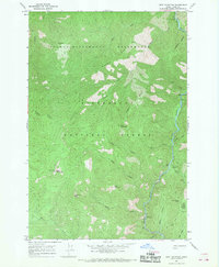
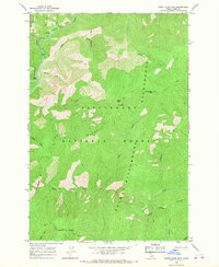
1966 Map of Spot Mountain
USGS Topo · Published 1968About this map
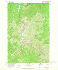
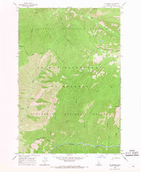
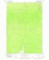
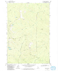
The Selway River carves a deep path through the center of this mid-1960s survey, marking a landscape defined by sharp elevation changes and high ridgelines within the Bitterroot National Forest. The presence of the Old Nez Perce Trail along the southern ridges provides a significant historical link to indigenous travel corridors that predated modern forest management. While most of the area is protected as part of the Selway-Bitterroot Wilderness, signs of mid-century recreational development appear at the Indian Creek Campground and Raven Creek Campground. The map illustrates a transition in back-country access, where the traditional Pack Trail system connects prominent lookouts and summits like Spot Mountain and Mt Aura to the river valley below.
Find a feature on this map
25 named features on this map. Tap any name to fly to it.
Don’t see what you’re looking for? This feature index may not catch every label — zoom into the map to look around manually.
Map Details
Editions of this 1966 Spot Mountain Map
This is the sole edition of this map. No revisions or reprints were ever made.
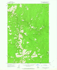
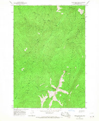
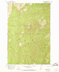
Other maps of this area

1956 · Elk City
USGS Topo · 1:250,000

1960 · Elk City
USGS Topo · 1:250,000
1962 · Beaver Jack Mtn
USGS Topo · 1:24,000
1966 · Three Prong Mountain
USGS Topo · 1:24,000
1966 · Wylies Peak
USGS Topo · 1:24,000
1966 · Burnt Strip Mtn
USGS Topo · 1:24,000
1966 · Gardiner Peak
USGS Topo · 1:24,000
1966 · Mt George
USGS Topo · 1:24,000
1978 · Magruder Mtn
USGS Topo · 1:24,000
1979 · Sabe Mtn
USGS Topo · 1:24,000