
1966 Map of Three Prong Mountain
USGS Topo · Published 1968About this map
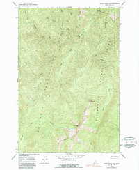
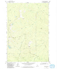
Three Prong Ridge dominates this interior portion of the Nez Perce National Forest and Bitterroot National Forest, where steep drainages define the high-country landscape during the mid-1960s. The map illustrates a primitive transportation network consisting of several Pack Trails and the Patrol Pack Trail, which provided the only access through the Selway-Bitterroot Wilderness before modern road development. Significant landmarks like Warm Springs Bar along Running Creek and the high elevation Lynx Meadows suggest seasonal grazing or transit points for early forest rangers and packers. The topography is exceptionally detailed around Three Prong Mtn and the aptly named The Drop-off, showing the complex headwaters of Bargamin Creek and Eagle Creek as they carved these mountain slopes.
Find a feature on this map
25 named features on this map. Tap any name to fly to it.
Don’t see what you’re looking for? This feature index may not catch every label — zoom into the map to look around manually.
Map Details
Editions of this 1966 Three Prong Mountain Map
2 editions found
Other maps of this area

1956 · Elk City
USGS Topo · 1:250,000

1960 · Elk City
USGS Topo · 1:250,000

1966 · Spot Mountain
USGS Topo · 1:24,000

1966 · Green Mtn.
USGS Topo · 1:24,000
1966 · Wylies Peak
USGS Topo · 1:24,000
1966 · Gardiner Peak
USGS Topo · 1:24,000
1966 · Running Lake
USGS Topo · 1:24,000

1978 · Spread Creek Point
USGS Topo · 1:24,000

1978 · Magruder Mtn
USGS Topo · 1:24,000
1979 · Sabe Mtn
USGS Topo · 1:24,000