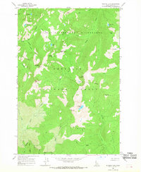
1966 Map of Running Lake
USGS Topo · Published 1968About this map
Running Lake sits at the heart of this mid-1960s survey, surrounded by the high-elevation terrain of the Nez Perce National Forest. The landscape is defined by the Selway Bitterroot Wilderness boundary, where access is limited to a network of Pack Trails that connect remote glacial cirques and peaks. Significant high-country features include Grave Meadow and Indian Park, which provide rare open spaces amidst a complex system of drainages such as Grave Creek and Running Creek. The distribution of numerous small lakes, including Bilk Lake, Square Rock Lake, and Fawn Lake, suggests a classic alpine environment. Geologic landmarks like Square Rock and Rock Pillar serve as natural navigation points for those traversing the heights between Elk Mountain and Grave Meadow Peak.
Find a feature on this map
40 named features on this map. Tap any name to fly to it.
Don’t see what you’re looking for? This feature index may not catch every label — zoom into the map to look around manually.
Map Details
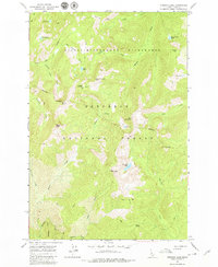
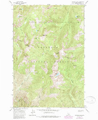
Editions of this 1966 Running Lake Map
3 editions found
Other maps of this area

1911 · Lolo
USGS Topo · 1:250,000

1913 · Lolo
USGS Topo · 1:250,000

1956 · Elk City
USGS Topo · 1:250,000

1956 · Hamilton
USGS Topo · 1:250,000

1959 · Hamilton
USGS Topo · 1:250,000

1960 · Elk City
USGS Topo · 1:250,000

1960 · Hamilton
USGS Topo · 1:250,000

1964 · Hamilton
USGS Topo · 1:250,000

1966 · Moose Ridge
USGS Topo · 1:24,000

1966 · Green Mtn.
USGS Topo · 1:24,000