
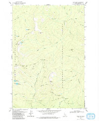
1966 Map of Green Mtn.
USGS Topo · Published 1968About this map
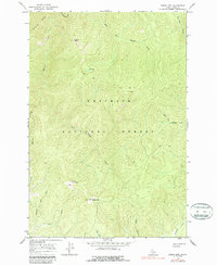
Nezperce National Forest dominates this high-altitude landscape of central Idaho, documented in the mid-1960s. The terrain is defined by significant elevations like Green Mtn and Granite Peak, which provided strategic vantage points for forest management, evidenced by the Lookout Tower positioned at the summit of Green Mountain. This survey captures a wilderness infrastructure that relied heavily on primitive access routes, including an extensive network of pack trails and a singular jeep trail winding through the drainage of Meadow Creek. A solitary Cabin is noted in the southwest, while scattered Prospects point to early mineral exploration within the steep ridges. The drainage patterns are clearly delineated, showing how the East Fork Meadow Creek and Running Creek carve through the heavily contoured mountain slopes.
Find a feature on this map
25 named features on this map. Tap any name to fly to it.
Don’t see what you’re looking for? This feature index may not catch every label — zoom into the map to look around manually.
Map Details
Editions of this 1966 Green Mtn. Map
2 editions found
Other maps of this area

1956 · Elk City
USGS Topo · 1:250,000

1960 · Elk City
USGS Topo · 1:250,000

1966 · Three Prong Mountain
USGS Topo · 1:24,000
1966 · Wylies Peak
USGS Topo · 1:24,000

1966 · Sable Hill
USGS Topo · 1:24,000
1966 · Running Lake
USGS Topo · 1:24,000
1966 · Vermilion Peak
USGS Topo · 1:24,000

1977 · Boston Mtn
USGS Topo · 1:24,000

1978 · Spread Creek Point
USGS Topo · 1:24,000
1979 · Sabe Mtn
USGS Topo · 1:24,000