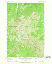
1966 Map of Gardiner Peak
USGS Topo · Published 1968About this map
The Selway River cuts a deep, winding path through the heart of the Selway-Bitterroot Wilderness during the mid-1960s. This backcountry landscape is defined by its transition between the Nezperce National Forest and the Bitterroot National Forest, where the terrain rises sharply from the riverbank to high points like Gardiner Peak and Elevator Mtn. Human presence in this isolated interior is marked by specialized outposts and remote habitations, including the Shearer Guard Station and the Gardiner Peak Lookout Tower. Life and travel here are tied to the river and the air; multiple Landing Strip locations provide essential access for North Star Ranch and Running Creek Ranch, while a network of Pack Trail routes serves as the primary means of overland movement through the steep drainages of Goat Creek and Gardiner Creek.
Find a feature on this map
33 named features on this map. Tap any name to fly to it.
Don’t see what you’re looking for? This feature index may not catch every label — zoom into the map to look around manually.
Map Details
Editions of this 1966 Gardiner Peak Map
2 editions found
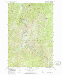
Other maps of this area

1911 · Lolo
USGS Topo · 1:250,000

1913 · Lolo
USGS Topo · 1:250,000

1956 · Elk City
USGS Topo · 1:250,000

1956 · Hamilton
USGS Topo · 1:250,000

1959 · Hamilton
USGS Topo · 1:250,000

1960 · Elk City
USGS Topo · 1:250,000

1960 · Hamilton
USGS Topo · 1:250,000

1964 · Hamilton
USGS Topo · 1:250,000

1966 · Spot Mountain
USGS Topo · 1:24,000

1966 · Twin Butte
USGS Topo · 1:24,000