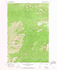
1966 Map of Mt George
USGS Topo · Published 1968About this map
Nez Perce National Forest and the Bitterroot National Forest converge in this high-altitude wilderness during the mid-1960s. The landscape is defined by its deep drainage networks and fire-watch infrastructure, most notably the Bad Luck Lookout Tower situated near the headwaters of Bad Luck Creek. The map documents a strictly non-motorized environment, dominated by a comprehensive network of Pack Trails that navigate the steep elevations between White Cap Creek in the south and Brushy Fork to the north.
Find a feature on this map
23 named features on this map. Tap any name to fly to it.
Don’t see what you’re looking for? This feature index may not catch every label — zoom into the map to look around manually.
Map Details
Editions of this 1966 Mt George Map
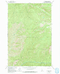
2 editions found
Other maps of this area

1911 · Lolo
USGS Topo · 1:250,000

1913 · Lolo
USGS Topo · 1:250,000

1956 · Elk City
USGS Topo · 1:250,000

1956 · Hamilton
USGS Topo · 1:250,000

1959 · Hamilton
USGS Topo · 1:250,000

1960 · Elk City
USGS Topo · 1:250,000

1960 · Hamilton
USGS Topo · 1:250,000

1964 · Hamilton
USGS Topo · 1:250,000

1966 · Watchtower Peak
USGS Topo · 1:24,000

1966 · Spot Mountain
USGS Topo · 1:24,000