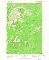
1966 Map of Burnt Strip Mtn
USGS Topo · Published 1968About this map
The Selway River carves through the heart of the Bitterroot Range in this mid-1960s study of Idaho's high backcountry. This area is defined by the high-elevation topography of Indian Ridge and the prominent peaks of Burnt Strip Mtn and Green Mtn. Human presence is minimal, centered primarily on administrative and recreational outposts like the Paradise Guard Sta. and the nearby Paradise Campground. The map documents a primitive transportation network consisting almost entirely of a Pack Trail system, including the significant historical corridor of the Old Nez Perce Trail. These routes follow the natural drainage patterns of White Cap Creek, Snake Creek, and Jack Creek, illustrating the early Forest Service infrastructure within the Selway-Bitterroot Wilderness and Bitterroot National Forest.
Find a feature on this map
27 named features on this map. Tap any name to fly to it.
Don’t see what you’re looking for? This feature index may not catch every label — zoom into the map to look around manually.
Map Details
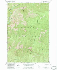
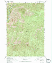
Editions of this 1966 Burnt Strip Mtn Map
3 editions found
Other maps of this area

1956 · Elk City
USGS Topo · 1:250,000

1960 · Elk City
USGS Topo · 1:250,000

1962 · Beaver Jack Mtn
USGS Topo · 1:24,000

1962 · Nez Perce Peak
USGS Topo · 1:24,000

1966 · Watchtower Peak
USGS Topo · 1:24,000

1966 · Spot Mountain
USGS Topo · 1:24,000
1966 · Mount Paloma
USGS Topo · 1:24,000
1966 · Gardiner Peak
USGS Topo · 1:24,000
1966 · Mt George
USGS Topo · 1:24,000

1978 · Magruder Mtn
USGS Topo · 1:24,000