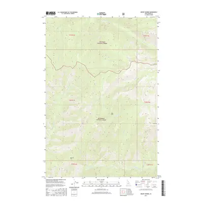
2017 Map of Mount George
USGS Topo · Published 2017About this map
Nez Perce National Forest and Bitterroot National Forest converge in this high-elevation wilderness, where the drainage systems of the Selway-Bitterroot area are clearly defined. The terrain is anchored by prominent summits such as Mt George and Bad Luck Mtn, with Cedar Saddle providing a distinctive topographic landmark between deep creek valleys. The water network is particularly dense, with Brushy Fork Cr and Fry-Pan Cr carving through the northern sections while White Cap Creek and Gardiner Fork dominate the southern reaches.
Find a feature on this map
23 named features on this map. Tap any name to fly to it.
Don’t see what you’re looking for? This feature index may not catch every label — zoom into the map to look around manually.
Map Details
Editions of this 2017 Mount George Map
This is the sole edition of this map. No revisions or reprints were ever made.
Other maps of this area

1911 · Lolo
USGS Topo · 1:250,000

1913 · Lolo
USGS Topo · 1:250,000

1956 · Elk City
USGS Topo · 1:250,000

1956 · Hamilton
USGS Topo · 1:250,000

1959 · Hamilton
USGS Topo · 1:250,000

1960 · Elk City
USGS Topo · 1:250,000

1960 · Hamilton
USGS Topo · 1:250,000

1964 · Hamilton
USGS Topo · 1:250,000

1966 · Watchtower Peak
USGS Topo · 1:24,000

1966 · Spot Mountain
USGS Topo · 1:24,000