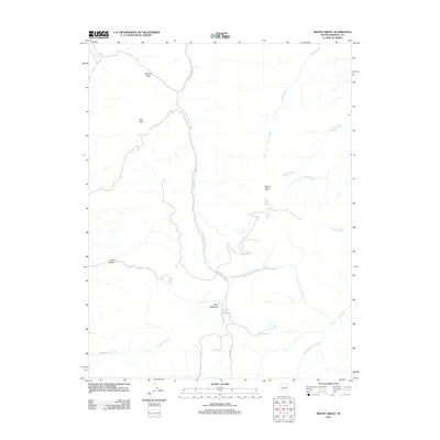
2011 Map of Mount Grant
USGS Topo · Published 2011About this map
Mount Grant dominates this 2011 survey of the high desert terrain in Mineral County, providing a detailed look at the drainage systems and peaks of the Wassuk Range. The landscape is defined by its verticality, with high points like Pike Peak and the traversing route through Wheeler Pass overseeing a network of intermittent waterways. These canyons and washes, such as Cottonwood Canyon and Lapon Canyon, direct seasonal runoff toward the desert basins below.
Find a feature on this map
17 named features on this map. Tap any name to fly to it.
Don’t see what you’re looking for? This feature index may not catch every label — zoom into the map to look around manually.
Map Details
Editions of this 2011 Mount Grant Map
This is the sole edition of this map. No revisions or reprints were ever made.
Other maps of this area

1909 · Hawthorne
USGS Topo · 1:250,000

1911 · Hawthorne
USGS Topo · 1:250,000

1915 · Hawthorne
USGS Topo · 1:250,000

1948 · Walker Lake
USGS Topo · 1:250,000

1955 · Powell Mtn
USGS Topo · 1:62,500

1955 · Hawthorne
USGS Topo · 1:62,500

1956 · Mt. Grant
USGS Topo · 1:62,500

1956 · Aurora
USGS Topo · 1:62,500

1957 · Walker Lake
USGS Topo · 1:250,000

1962 · Walker Lake
USGS Topo · 1:250,000