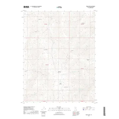
2018 Map of Mount Grant
USGS Topo · Published 2018About this map
Mt Grant towers over this section of the Wassuk Range in Mineral County, defining a landscape of extreme verticality and deep drainage systems. The survey detail illustrates a complex network of canyons and gulches, including Cottonwood Creek Canyon and House Creek Canyon, which funnel seasonal runoff toward the desert floor. High-altitude features like Lapon Meadows and Wheeler Pass indicate the high-country routes and grazing lands used within these mountains. The drainage pattern is particularly intricate in the southeast, where N Fork Cat Cr, Middle Fork Cat Cr, and S Fork Cat Cr converge into Cat Cr. This map is an essential reference for understanding the physical geography and topographic barriers of this interior Nevada range during the early 21st century.
Find a feature on this map
26 named features on this map. Tap any name to fly to it.
Don’t see what you’re looking for? This feature index may not catch every label — zoom into the map to look around manually.
Map Details
Editions of this 2018 Mount Grant Map
This is the sole edition of this map. No revisions or reprints were ever made.
Other maps of this area

1909 · Hawthorne
USGS Topo · 1:250,000

1911 · Hawthorne
USGS Topo · 1:250,000

1915 · Hawthorne
USGS Topo · 1:250,000

1948 · Walker Lake
USGS Topo · 1:250,000

1955 · Powell Mtn
USGS Topo · 1:62,500

1955 · Hawthorne
USGS Topo · 1:62,500

1956 · Mt. Grant
USGS Topo · 1:62,500

1956 · Aurora
USGS Topo · 1:62,500

1957 · Walker Lake
USGS Topo · 1:250,000

1962 · Walker Lake
USGS Topo · 1:250,000