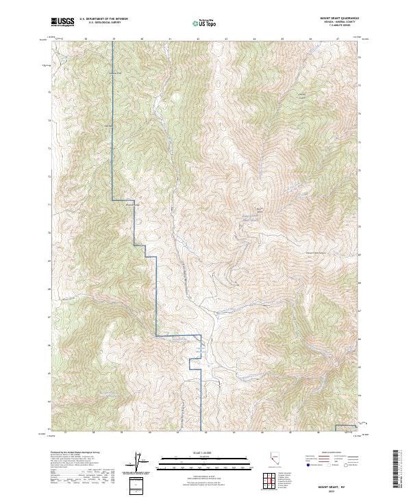
2023 Map of Mount Grant
USGS Topo · Published 2023About this map
Mount Grant dominates the high-elevation landscape of the Wassuk Range in Mineral County, overlooking a complex network of canyons and springs. This modern survey illustrates the rugged interface between military lands and wilderness, specifically where the Hawthorne Army Depot boundary intersects the steep eastern slopes. Water sources are critical landmarks in this arid environment, with drainage patterns flowing through Cottonwood Creek Canyon and Lapham Canyon, feeding sites like Lapham Meadows. The map provides clear detail of the high ridges, including Pike Peak and Wheeler Pass, which have historically served as the primary transit corridors through these mountains. To the south, numerous forks of Cat Creek and Rattlesnake Creek reveal the deeply dissected terrain that defines the southern reaches of the range.
Find a feature on this map
31 named features on this map. Tap any name to fly to it.
Don’t see what you’re looking for? This feature index may not catch every label — zoom into the map to look around manually.
Map Details
Editions of this 2023 Mount Grant Map
This is the sole edition of this map. No revisions or reprints were ever made.
Other maps of this area

1909 · Hawthorne
USGS Topo · 1:250,000

1911 · Hawthorne
USGS Topo · 1:250,000

1915 · Hawthorne
USGS Topo · 1:250,000

1948 · Walker Lake
USGS Topo · 1:250,000

1955 · Powell Mtn
USGS Topo · 1:62,500

1955 · Hawthorne
USGS Topo · 1:62,500

1956 · Mt. Grant
USGS Topo · 1:62,500

1956 · Aurora
USGS Topo · 1:62,500

1957 · Walker Lake
USGS Topo · 1:250,000

1962 · Walker Lake
USGS Topo · 1:250,000