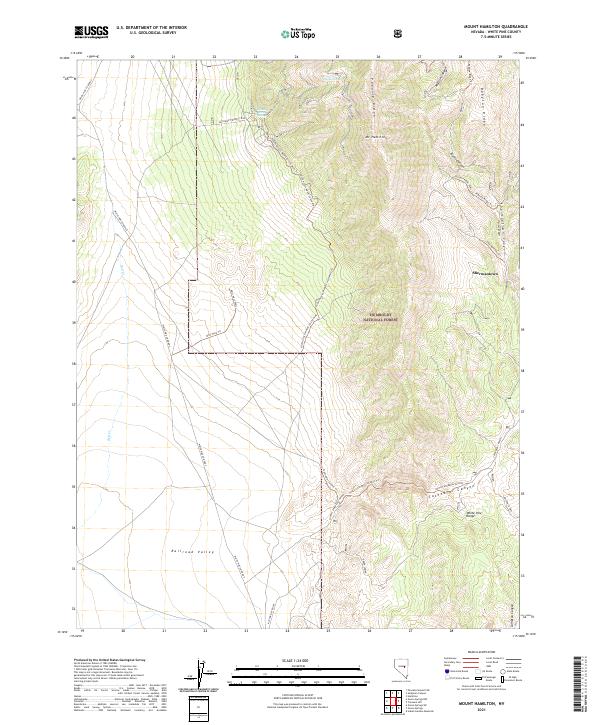
2021 Map of Mount Hamilton
USGS Topo · Published 2021About this map
Shermantown and the high peaks of the White Pine Range define this high-altitude Nevada landscape, where historical mining and ranching interests are etched into the terrain. The transition from the broad flats of Railroad Valley to the steep eastern ridges is marked by a complex network of canyons, including Rocco Canyon and Shermantown Canyon. Water sources such as Monte Cristo Spring, Hoppe Spring, and Green Spring appear as vital points in the arid environment, essential for the livestock and mining operations that once populated this section of the Humboldt National Forest. Specialized access routes like the South Access Monte Cristo Mine Trl and Drill Hole Trail highlight the area's geological exploration and industrial history. The map also traces prominent geological features like Pogonip Ridge and Babylon Ridge, offering clear detail for those studying the rugged interior of the Great Basin.
Find a feature on this map
33 named features on this map. Tap any name to fly to it.
Don’t see what you’re looking for? This feature index may not catch every label — zoom into the map to look around manually.
Map Details
Editions of this 2021 Mount Hamilton Map
This is the sole edition of this map. No revisions or reprints were ever made.
Other maps of this area

1949 · Treasure Hill
USGS Topo · 1:62,500

1950 · Treasure Hill
USGS Topo · 1:62,500

1951 · Green Springs
USGS Topo · 1:62,500

1951 · Illipah
USGS Topo · 1:62,500

1951 · Pancake Summit
USGS Topo · 1:62,500

1956 · Ely
USGS Topo · 1:250,000

1959 · Ely
USGS Topo · 1:250,000

1963 · Ely
USGS Topo · 1:250,000

1979 · Mt. Hamilton
USGS Topo · 1:100,000

1990 · Pancake Summit SW
USGS Topo · 1:24,000