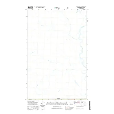
2017 Map of Mount Hefty OE N
USGS Topo · Published 2017About this map
The Flathead River winds through this international border region, where the remote mountain terrain of Flathead National Forest meets the line between Montana and Canada. The landscape is defined by a network of drainage systems, including the westward-flowing Burnham Cr, Couldrey Cr, and Calder Cr, which carve through the high elevations. In the north, high-altitude water bodies like Beryl Lake and Marl Lake feed into Beryl Cr, eventually contributing to the larger Howell Creek system. This 2017 survey illustrates a wilderness nearly devoid of modern infrastructure, preserving the primitive character of the upper Flathead drainage as it crosses from Flathead County into British Columbia.
Find a feature on this map
14 named features on this map. Tap any name to fly to it.
Don’t see what you’re looking for? This feature index may not catch every label — zoom into the map to look around manually.
Map Details
Editions of this 2017 Mount Hefty OE N Map
This is the sole edition of this map. No revisions or reprints were ever made.
Other maps of this area

1906 · Kintla Lakes
USGS Topo · 1:125,000

1913 · Stryker
USGS Topo · 1:125,000

1916 · Stryker
USGS Topo · 1:125,000

1938 · Kintla Lakes
USGS Topo · 1:125,000

1957 · Kalispell
USGS Topo · 1:250,000

1960 · Kalispell
USGS Topo · 1:250,000

1961 · Kalispell
USGS Topo · 1:250,000

1966 · Mount Hefty
USGS Topo · 1:24,000
1966 · Tuchuck Mountain
USGS Topo · 1:24,000
1966 · Trailcreek
USGS Topo · 1:24,000