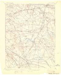
1898 Map of Mount Holly
USGS Topo · Published 1903About this map
Union Mills and other milling sites anchor the rural industry of this Burlington County landscape at the close of the 19th century. The territory is defined by the drainage systems of Rancocas Creek and its many branches, which supported established settlements like Moorestown, Medford, and Vincentown. The transit network of the era is remarkably dense, featuring several branches of the Pennsylvania Railroad and the Central R.R. of New Jersey cutting through the interior.
Find a feature on this map
108 named features on this map. Tap any name to fly to it.
Don’t see what you’re looking for? This feature index may not catch every label — zoom into the map to look around manually.
Map Details
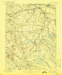
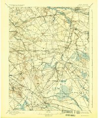
Editions of this 1898 Mount Holly Map
5 editions found


Other maps of this area

1888 · Bordentown
USGS Topo · 1:62,500

1888 · Pemberton
USGS Topo · 1:62,500

1888 · Mount Holly
USGS Topo · 1:62,500

1890 · Hammonton
USGS Topo · 1:62,500

1890 · Burlington
USGS Topo · 1:62,500

1890 · Mullica
USGS Topo · 1:62,500

1890 · Glassboro
USGS Topo · 1:62,500

1891 · Philadelphia
USGS Topo · 1:62,500

1893 · Germantown
USGS Topo · 1:62,500

1893 · Bordentown
USGS Topo · 1:62,500
Featured Places
- Cherry Hill Township, NJ
- Mount Laurel Township, NJ
- Winslow Township, NJ
- Willingboro Township, NJ
- Voorhees Township, NJ