
1898 Map of Mount Holly
USGS Topo · Published 1910About this map
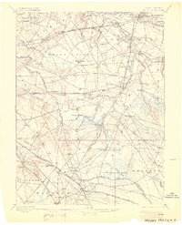
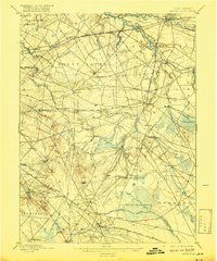
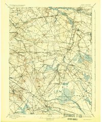
Rancocas Creek and its complex network of tributaries define the settlement patterns of this late 19th-century landscape in Burlington and Camden Counties. The map reveals a transition from the industrial and milling centers of Union Mills and Smithville to the sprawling agricultural and bog lands of the south. This era shows the peak of the rail-to-river economy, where the Pennsylvania Railroad Hartford Amboy Division and the West Jersey and Seashore RR interconnected established villages like Moorestown, Medford, and Marlton. To the southeast, the landscape opens into the Bear Swamp and the West Jersey Cranberry Meadow Branch, reflecting the region's specialized cranberry and timber economies. The inclusion of small hamlets such as Eayrestown, Fostertown, and Cropwell provides a high-resolution look at rural New Jersey before the expansion of the modern Philadelphia suburbs.
Find a feature on this map
104 named features on this map. Tap any name to fly to it.
Don’t see what you’re looking for? This feature index may not catch every label — zoom into the map to look around manually.
Map Details
Editions of this 1898 Mount Holly Map
5 editions found

Other maps of this area

1888 · Bordentown
USGS Topo · 1:62,500

1888 · Pemberton
USGS Topo · 1:62,500

1888 · Mount Holly
USGS Topo · 1:62,500

1890 · Hammonton
USGS Topo · 1:62,500

1890 · Burlington
USGS Topo · 1:62,500

1890 · Mullica
USGS Topo · 1:62,500

1890 · Glassboro
USGS Topo · 1:62,500

1891 · Philadelphia
USGS Topo · 1:62,500

1893 · Germantown
USGS Topo · 1:62,500

1893 · Bordentown
USGS Topo · 1:62,500
Featured Places
- Cherry Hill Township, NJ
- Mount Laurel Township, NJ
- Winslow Township, NJ
- Willingboro Township, NJ
- Voorhees Township, NJ