
1898 Map of Mount Holly
USGS Topo · Published 1898About this map
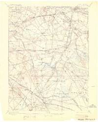
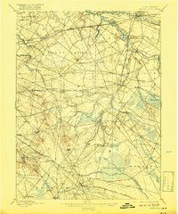
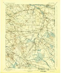
Moorestown and its surrounding agricultural townships serve as the center of this late 19th-century survey, revealing the dense network of early crossroads and turn-of-the-century rail development in Burlington County. The landscape is defined by the complex drainage of Rancocas Creek and its various branches, alongside the intricate rail paths of the Pennsylvania Railroad Amboy Division and the Atlantic City Railroad. Small, localized settlements such as Colemantown, Fellowship, and Evesboro are shown before the suburban expansion of the 20th century.
Find a feature on this map
100 named features on this map. Tap any name to fly to it.
Don’t see what you’re looking for? This feature index may not catch every label — zoom into the map to look around manually.
Map Details
Editions of this 1898 Mount Holly Map
5 editions found

Other maps of this area

1888 · Bordentown
USGS Topo · 1:62,500

1888 · Pemberton
USGS Topo · 1:62,500

1888 · Mount Holly
USGS Topo · 1:62,500

1890 · Hammonton
USGS Topo · 1:62,500

1890 · Burlington
USGS Topo · 1:62,500

1890 · Mullica
USGS Topo · 1:62,500

1890 · Glassboro
USGS Topo · 1:62,500

1891 · Philadelphia
USGS Topo · 1:62,500

1893 · Germantown
USGS Topo · 1:62,500

1893 · Bordentown
USGS Topo · 1:62,500
Featured Places
- Cherry Hill Township, NJ
- Mount Laurel Township, NJ
- Winslow Township, NJ
- Willingboro Township, NJ
- Voorhees Township, NJ