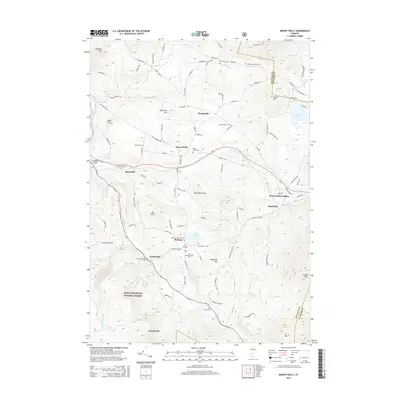
2015 Map of Mount Holly
USGS Topo · Published 2015About this map
The Green Mountain National Forest blankets the southern portion of this Vermont landscape, where the Mill River and W River carve through high-elevation terrain. Settlement is concentrated in small hamlets like Mount Holly, Belmont, and Tarbellville, connected by historic routes including the Crown Point RD and Shunpike RD. For genealogists, the map is remarkably dense with burial grounds, featuring many family and small-community plots such as Woodward-Wilder Cem, Packer Cem, and Old Mechanicsville Cem. The rugged landscape is punctuated by prominent peaks like Ludlow Mtn, Mt Holly, and Copperas Hill. Numerous alpine water bodies, including Lake Ninevah, Star Lake, and Amherst Lake, are situated among the ridges, illustrating the characteristic topography of the Green Mountains. The distribution of scattered homesteads and specialized cemeteries along roads like Patch Brook RD reflects the long-standing rural habitation patterns of this part of Rutland and Windsor Counties.
Find a feature on this map
106 named features on this map. Tap any name to fly to it.
Don’t see what you’re looking for? This feature index may not catch every label — zoom into the map to look around manually.
Map Details
Editions of this 2015 Mount Holly Map
This is the sole edition of this map. No revisions or reprints were ever made.
Other maps of this area

1891 · Rutland
USGS Topo · 1:62,500

1893 · Wallingford
USGS Topo · 1:62,500

1893 · Rutland
USGS Topo · 1:62,500

1911 · Woodstock
USGS Topo · 1:62,500

1913 · Woodstock
USGS Topo · 1:62,500

1928 · Ludlow
USGS Topo · 1:48,000

1929 · Ludlow
USGS Topo · 1:62,500

1932 · Ludlow
USGS Topo · 1:62,500

1943 · Woodstock
USGS Topo · 1:62,500

1950 · Glens Falls
USGS Topo · 1:250,000