Loading...
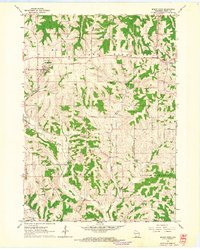
Loading map...1962 Map of Mount Hope
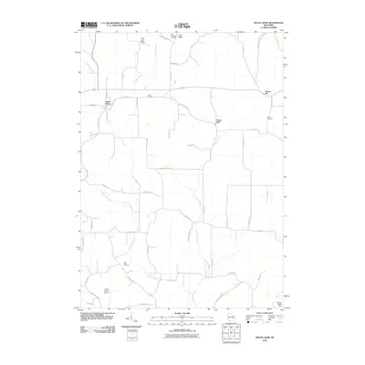
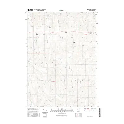
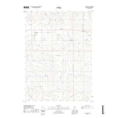
USGS Topo · Published 1964About this map
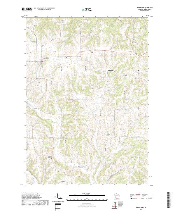
Military Ridge and Irish Ridge dominate the landscape of northwestern Grant County, defining the high ground above the dissected valleys of the Little Grant River and Martin Branch. This early 1960s survey illustrates a region shaped by its ridgeline geography, where primary settlements like Mount Hope and Mount Ida follow the east-west corridor of the old military road.
Find a feature on this map
20 named features on this map. Tap any name to fly to it.
Don’t see what you’re looking for? This feature index may not catch every label — zoom into the map to look around manually.
Map Details
Date Portrayed1962
Date Published1964
PublisherU.S. Geological Survey
Map TypeTopographic
Scale1:24,000
Physical Dimensions22.11 x 27.56 inches
Editions of this 1962 Mount Hope Map
This is the sole edition of this map. No revisions or reprints were ever made.
Historical Maps of Mount Ida Through Time
6 maps found

Featured Locations
Source Details
SourceU.S. Geological Survey
CopyrightPublic Domain