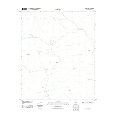
2011 Map of Mount Hope
USGS Topo · Published 2011About this map
Mount Hope serves as the namesake landmark for this Yavapai County territory, anchoring a landscape defined by seasonal water sources and ranching history. The settlement pattern is sparse, represented by sites like the O RO Ranch and the industrial or temporary staging areas at Sawmill Flat and Sandstone Camp. The movement of water is the primary architect of the terrain, with Burro Creek and Muddy Wash cutting through the high country. Numerous smaller features like Upper Mount Hope Spring, Lower Mount Hope Spring, and Hidden Spring suggest a reliance on specific points of groundwater for both livestock and early inhabitants. Topographical variety is found in named heights such as Janes Butte, Ferguson Ridge, and Dairy Mountain, while deep drainages like Pine Canyon and Coyote Canyon provide natural corridors through the varied elevations of the Arizona desert.
Find a feature on this map
29 named features on this map. Tap any name to fly to it.
Don’t see what you’re looking for? This feature index may not catch every label — zoom into the map to look around manually.
Map Details
Editions of this 2011 Mount Hope Map
This is the sole edition of this map. No revisions or reprints were ever made.
Other maps of this area

1886 · Diamond Creek
USGS Topo · 1:250,000

1886 · Chino
USGS Topo · 1:250,000

1887 · Prescott
USGS Topo · 1:250,000

1891 · Chino
USGS Topo · 1:250,000

1892 · Diamond Creek
USGS Topo · 1:250,000

1892 · Prescott
USGS Topo · 1:250,000

1923 · Signal
USGS Topo · 1:250,000

1942 · Signal
USGS Topo · 1:250,000

1947 · Turkey Canyon
USGS Topo · 1:62,500

1947 · Camp Wood
USGS Topo · 1:62,500