
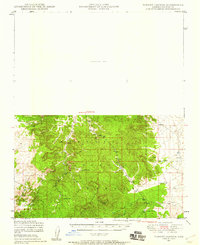
1947 Map of Turkey Canyon
USGS Topo · Published 1959About this map
The Juniper Mountains define the high-desert geography of this mid-century survey, which documents a land largely dominated by the Prescott National Forest. Settlement in this rugged part of Yavapai County is sparse, characterized by isolated outposts like Happy Camp and Lower Corrals rather than established towns. Water management is the primary evidence of human industry, seen in the numerous small dams and water catchments like Hutch Tank, Section 10 Tank, and New Water scattered across the arid terrain.
Find a feature on this map
17 named features on this map. Tap any name to fly to it.
Don’t see what you’re looking for? This feature index may not catch every label — zoom into the map to look around manually.
Map Details
Editions of this 1947 Turkey Canyon Map
2 editions found
Other maps of this area

1886 · Diamond Creek
USGS Topo · 1:250,000

1886 · Chino
USGS Topo · 1:250,000

1887 · Prescott
USGS Topo · 1:250,000

1891 · Chino
USGS Topo · 1:250,000

1892 · Diamond Creek
USGS Topo · 1:250,000

1892 · Prescott
USGS Topo · 1:250,000

1923 · Signal
USGS Topo · 1:250,000

1942 · Signal
USGS Topo · 1:250,000

1947 · Simmons
USGS Topo · 1:62,500

1947 · Picacho Butte
USGS Topo · 1:62,500