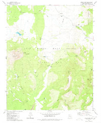
1980 Map of Mount Hope
USGS Topo · Published 1980About this map
The Luis Maria Baca Grant Float No 5 dominates this portion of Yavapai County, defining a landscape shaped by early Spanish land grants and high-desert ranching. At the foot of Mount Hope and the Juniper Mountains, the terrain is marked by essential water sources for livestock, including Muddy Mill, Lake Mary, and the O Ro Ranch. The presence of the Landing Strip and numerous Jeep Trails indicates the remote nature of these operations during the late twentieth century.
Find a feature on this map
37 named features on this map. Tap any name to fly to it.
Don’t see what you’re looking for? This feature index may not catch every label — zoom into the map to look around manually.
Map Details
Editions of this 1980 Mount Hope Map
This is the sole edition of this map. No revisions or reprints were ever made.
Other maps of this area

1886 · Diamond Creek
USGS Topo · 1:250,000

1886 · Chino
USGS Topo · 1:250,000

1887 · Prescott
USGS Topo · 1:250,000

1891 · Chino
USGS Topo · 1:250,000

1892 · Diamond Creek
USGS Topo · 1:250,000

1892 · Prescott
USGS Topo · 1:250,000

1923 · Signal
USGS Topo · 1:250,000

1942 · Signal
USGS Topo · 1:250,000

1947 · Turkey Canyon
USGS Topo · 1:62,500

1947 · Camp Wood
USGS Topo · 1:62,500