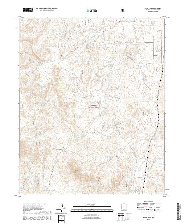
2021 Map of Mount Josh
USGS Topo · Published 2021About this map
Prescott National Forest land defines this section of Arizona high country, centered on the prominent heights of Mt Josh and Tonto Mtn. The terrain is deeply incised by drainage systems such as Long Canyon and Weed Canyon, while numerous natural springs and man-made tanks provide vital water points in an otherwise arid environment. Evidence of human movement and historic ranching infrastructure appears through features like Bootlegger Spring, Jack Jones Spring, and the Toohey Trick Tank Trail. These names suggest a long history of local occupation and livestock management. The map also reveals a complex network of seasonal watercourses including Strickland Wash and Tonto Wash, which shape the alluvial landscape around Long Mesa. The distribution of features like Old Camp Spring and Pemberton Tank illustrates how early settlers and modern land managers have adapted to the area's geography.
Find a feature on this map
49 named features on this map. Tap any name to fly to it.
Don’t see what you’re looking for? This feature index may not catch every label — zoom into the map to look around manually.
Map Details
Editions of this 2021 Mount Josh Map
This is the sole edition of this map. No revisions or reprints were ever made.
Other maps of this area

1887 · Prescott
USGS Topo · 1:250,000

1892 · Prescott
USGS Topo · 1:250,000

1947 · Simmons
USGS Topo · 1:62,500

1947 · Iron Springs
USGS Topo · 1:62,500

1947 · Sheridan Mountain
USGS Topo · 1:62,500

1947 · Camp Wood
USGS Topo · 1:62,500

1948 · Sheridan Mountain
USGS Topo · 1:63,360

1948 · Iron Springs
USGS Topo · 1:63,360

1948 · Camp Wood
USGS Topo · 1:63,360

1948 · Simmons
USGS Topo · 1:63,360