
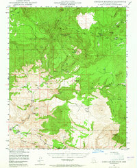
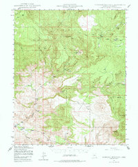
1947 Map of Sheridan Mountain
USGS Topo · Published 1960About this map
The Prescott National Forest dominates the landscape of this 1940s survey, illustrating a rugged backcountry of mesas and deep-cut canyons before significant modern development. High points like Sheridan Mountain and Eagle Pk oversee a complex network of seasonal drainages, including Sycamore Creek and the Santa Maria River. The map reveals a land defined by early ranching operations, marked by remote outposts such as Dumbbell Ranch, Muleshoe Ranch, and the Bar U Bar Ranch.
Find a feature on this map
38 named features on this map. Tap any name to fly to it.
Don’t see what you’re looking for? This feature index may not catch every label — zoom into the map to look around manually.
Map Details
Editions of this 1947 Sheridan Mountain Map
3 editions found
Other maps of this area

1887 · Prescott
USGS Topo · 1:250,000

1892 · Prescott
USGS Topo · 1:250,000

1903 · Congress
USGS Topo · 1:125,000

1904 · Congress
USGS Topo · 1:125,000

1923 · Signal
USGS Topo · 1:250,000

1942 · Signal
USGS Topo · 1:250,000

1945 · Bagdad
USGS Topo · 1:62,500

1947 · Simmons
USGS Topo · 1:62,500

1947 · Iron Springs
USGS Topo · 1:62,500

1947 · Kirkland
USGS Topo · 1:62,500