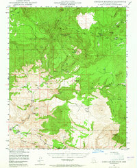
1947 Map of Sheridan Mountain
USGS Topo · Published 1965About this map
Prescott National Forest dominates the high-elevation landscape of this 1940s survey, where steep drainages like Brockmonte Canyon and Moonshine Canyon carve through a series of expansive plateaus. The topography is defined by the massive profiles of Sycamore Mesa, Cedar Mesa, and South Mesa, creating a isolated environment for the ranching outposts found along the valley floors.
Find a feature on this map
35 named features on this map. Tap any name to fly to it.
Don’t see what you’re looking for? This feature index may not catch every label — zoom into the map to look around manually.
Map Details
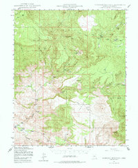
Editions of this 1947 Sheridan Mountain Map
3 editions found

Other maps of this area

1887 · Prescott
USGS Topo · 1:250,000

1892 · Prescott
USGS Topo · 1:250,000

1903 · Congress
USGS Topo · 1:125,000

1904 · Congress
USGS Topo · 1:125,000

1923 · Signal
USGS Topo · 1:250,000

1942 · Signal
USGS Topo · 1:250,000

1945 · Bagdad
USGS Topo · 1:62,500

1947 · Simmons
USGS Topo · 1:62,500

1947 · Iron Springs
USGS Topo · 1:62,500

1947 · Kirkland
USGS Topo · 1:62,500