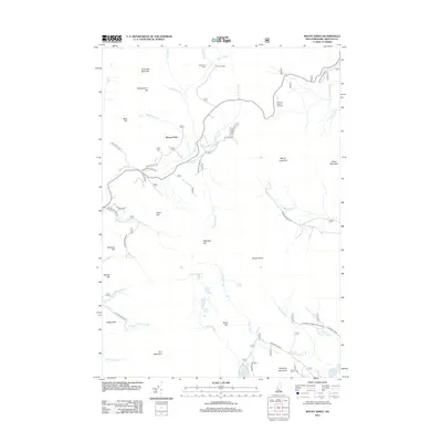
2012 Map of Mount Kineo
USGS Topo · Published 2012About this map
Breezy Point and the upper reaches of the Baker River anchor this topographic view of the White Mountains region. The landscape is defined by its complex drainage systems and significant peaks, including Mount Kineo and the prominent Carr Mountain. Travelers and researchers will find traces of recreation and mountain access via Ravine Lodge and the McKenney Cabin in the north, while the southern reaches of the map highlight Stinson Lake and Ellsworth Pond. The terrain is marked by notable natural landmarks such as Waternomee Falls and Eagle Cliff. A network of forest roads like Old Town Road and Stinson Lake Rd provides a look at how this part of Grafton County was navigated in the early twenty-first century, showing the relationship between small water bodies like Three Ponds and the surrounding highlands.
Find a feature on this map
56 named features on this map. Tap any name to fly to it.
Don’t see what you’re looking for? This feature index may not catch every label — zoom into the map to look around manually.
Map Details
Editions of this 2012 Mount Kineo Map
This is the sole edition of this map. No revisions or reprints were ever made.
Other maps of this area

1928 · Plymouth
USGS Topo · 1:62,500

1928 · Rumney
USGS Topo · 1:62,500

1929 · Moosilauke
USGS Topo · 1:62,500

1929 · Franconia
USGS Topo · 1:62,500

1931 · Plymouth
USGS Topo · 1:62,500

1932 · Franconia
USGS Topo · 1:62,500

1932 · Rumney
USGS Topo · 1:62,500

1932 · Moosilauke
USGS Topo · 1:62,500

1949 · Portland
USGS Topo · 1:250,000

1950 · Lewiston
USGS Topo · 1:250,000