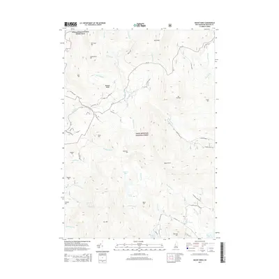
2015 Map of Mount Kineo
USGS Topo · Published 2015About this map
White Mountain National Forest dominates this landscape, where the rugged topography of the White Mountains is traced through numerous peaks and watercourses. The Appalachian National Scenic Trail winds through the northwestern corner, passing over Hurricane Mtn and Chokecherry Hill. The small settlement at Breezy Point serves as a localized hub near the Baker River, situated at the junction of several historic routes including Old Town Road and RT-118.
Find a feature on this map
64 named features on this map. Tap any name to fly to it.
Don’t see what you’re looking for? This feature index may not catch every label — zoom into the map to look around manually.
Map Details
Editions of this 2015 Mount Kineo Map
This is the sole edition of this map. No revisions or reprints were ever made.
Other maps of this area

1928 · Plymouth
USGS Topo · 1:62,500

1928 · Rumney
USGS Topo · 1:62,500

1929 · Moosilauke
USGS Topo · 1:62,500

1929 · Franconia
USGS Topo · 1:62,500

1931 · Plymouth
USGS Topo · 1:62,500

1932 · Franconia
USGS Topo · 1:62,500

1932 · Rumney
USGS Topo · 1:62,500

1932 · Moosilauke
USGS Topo · 1:62,500

1949 · Portland
USGS Topo · 1:250,000

1950 · Lewiston
USGS Topo · 1:250,000