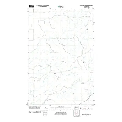
2011 Map of Mount Kit Carson
USGS Topo · Published 2011About this map
Mt Spokane State Park anchors the high terrain of northeastern Spokane County, where several prominent peaks and ridges define the geography. The area around Mount Kit Carson and Day Mountain is characterized by a dense network of mountain streams, including the headwaters of Blanchard Creek and the many forks of North Fork Little Deep Creek. The landscape transitions from the protected parklands to the more developed west, where the Mount Spokane West Airpark and Mount Saint Charles Ranch suggest a mix of recreational and residential land use.
Find a feature on this map
44 named features on this map. Tap any name to fly to it.
Don’t see what you’re looking for? This feature index may not catch every label — zoom into the map to look around manually.
Map Details
Editions of this 2011 Mount Kit Carson Map
This is the sole edition of this map. No revisions or reprints were ever made.
Other maps of this area

1901 · Spokane
USGS Topo · 1:125,000

1936 · Newport
USGS Topo · 1:96,000

1942 · Newport
USGS Topo · 1:125,000

1943 · Mt Spokane
USGS Topo · 1:62,500

1949 · Deer Park
USGS Topo · 1:62,500

1950 · Mt Spokane
USGS Topo · 1:62,500

1951 · Deer Park
USGS Topo · 1:62,500

1955 · Spokane
USGS Topo · 1:250,000

1958 · Spokane
USGS Topo · 1:250,000

1958 · Sandpoint
USGS Topo · 1:250,000