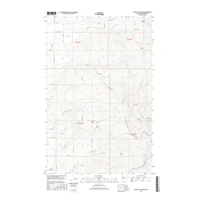
2017 Map of Mount Kit Carson
USGS Topo · Published 2017About this map
Mount Kit Carson and the high elevation ridges of Spokane County define this landscape, where the Selkirk foothills transition into a network of steep drainages and mountain summits. In the southern portion of the sheet, the terrain rises toward Beauty Mtn and the distinct peak of Day Mtn, with Smith Gap providing a natural pass between these heights. The presence of Hells Hole and Missouri Ridge suggests the complex topography that historically challenged travelers and foresters alike.
Find a feature on this map
56 named features on this map. Tap any name to fly to it.
Don’t see what you’re looking for? This feature index may not catch every label — zoom into the map to look around manually.
Map Details
Editions of this 2017 Mount Kit Carson Map
This is the sole edition of this map. No revisions or reprints were ever made.
Other maps of this area

1901 · Spokane
USGS Topo · 1:125,000

1936 · Newport
USGS Topo · 1:96,000

1942 · Newport
USGS Topo · 1:125,000

1943 · Mt Spokane
USGS Topo · 1:62,500

1949 · Deer Park
USGS Topo · 1:62,500

1950 · Mt Spokane
USGS Topo · 1:62,500

1951 · Deer Park
USGS Topo · 1:62,500

1955 · Spokane
USGS Topo · 1:250,000

1958 · Spokane
USGS Topo · 1:250,000

1958 · Sandpoint
USGS Topo · 1:250,000