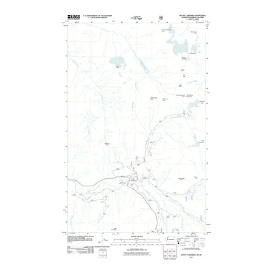
2011 Map of Mount Larrabee
USGS Topo · Published 2011About this map
American Border Peak and Mount Larrabee dominate the northern crest of this terrain, marking the boundary where the Cascades meet the international border. The landscape is defined by its verticality, with high-elevation waypoints like High Pass and Low Pass connecting the drainage basins of Tomyhoi Creek and Winchester Creek. This area was historically shaped by small-scale mineral exploration, evidenced by the presence of the Red Mountain Mine, Gargett Mine, and Silvertip Mine tucked into the high ridges.
Find a feature on this map
41 named features on this map. Tap any name to fly to it.
Don’t see what you’re looking for? This feature index may not catch every label — zoom into the map to look around manually.
Map Details
Editions of this 2011 Mount Larrabee Map
This is the sole edition of this map. No revisions or reprints were ever made.
Other maps of this area

1909 · Mt Baker
USGS Topo · 1:192,000

1915 · Mt. Baker
USGS Topo · 1:250,000

1952 · Mt. Baker
USGS Topo · 1:62,500

1953 · Mt Shuksan
USGS Topo · 1:62,500

1955 · Concrete
USGS Topo · 1:250,000

1958 · Concrete
USGS Topo · 1:250,000

1962 · Concrete
USGS Topo · 1:250,000

1979 · Mt. Baker
USGS Topo · 1:100,000
1989 · Shuksan Arm
USGS Topo · 1:24,000
1989 · Mt Larrabee
USGS Topo · 1:24,000