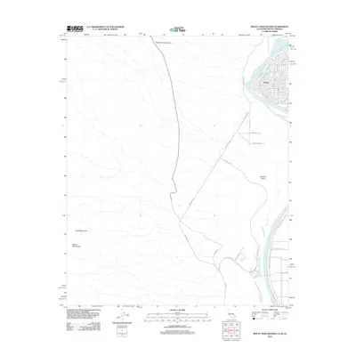
2012 Map of Mount Manchester
USGS Topo · Published 2012About this map
The Colorado River serves as the focal point of this tri-state border region, carving through the Mohave Valley where California, Nevada, and Arizona meet. In the early 21st century, the community of Riviera occupies the river's eastern bank, marked by a dense residential street grid including Riverfront Dr and Sea Creek Dr, along with a local Po. This area highlights the transition from the developed riverfront to the stark, surrounding desert peaks. To the west, the Dead Mountains and the namesake Mount Manchester rise from the arid landscape, while the Newberry Mountains dominate the northern horizon. Infrastructure for modern travel and recreation is well-established, evidenced by the Aha Macav Pkwy and Golf Club Dr, which facilitate movement between the river settlements and the high desert terrain of the Silver State border.
Find a feature on this map
21 named features on this map. Tap any name to fly to it.
Don’t see what you’re looking for? This feature index may not catch every label — zoom into the map to look around manually.
Map Details
Editions of this 2012 Mount Manchester Map
This is the sole edition of this map. No revisions or reprints were ever made.
Other maps of this area

1886 · Camp Mohave
USGS Topo · 1:250,000

1892 · Camp Mohave
USGS Topo · 1:250,000

1903 · Needles
USGS Topo · 1:125,000

1904 · Needles Special
USGS Topo · 1:125,000

1926 · Mohave City
USGS Topo · 1:96,000

1942 · Camp Mohave
USGS Topo · 1:250,000

1943 · Bannock
USGS Topo · 1:62,500

1947 · Kingman
USGS Topo · 1:250,000

1948 · Kingman
USGS Topo · 1:250,000

1950 · Davis Dam
USGS Topo · 1:62,500