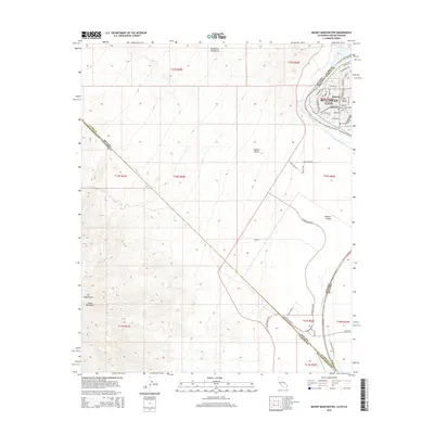
2015 Map of Mount Manchester
USGS Topo · Published 2015About this map
Bullhead City serves as a modern hub along the Colorado River where the borders of Arizona, California, and Nevada converge. This survey captures the residential expansion in the Riviera and Big Bend neighborhoods, illustrating a landscape defined by sharp contrasts between suburban street grids and the surrounding Mojave Desert. The map reveals how local infrastructure, including N Aha Macav Pky and River Rd, navigates the complex terrain of the Mohave Valley. To the west, the topographic detail transitions into the high elevations of Mt Manchester and the Dead Mountains, while the Newberry Mountains rise to the north. This document provides a clear look at the intersection of three states and four counties, documenting the developed riverfront alongside the rugged, undeveloped mountain ranges that dominate the region's geography.
Find a feature on this map
38 named features on this map. Tap any name to fly to it.
Don’t see what you’re looking for? This feature index may not catch every label — zoom into the map to look around manually.
Map Details
Editions of this 2015 Mount Manchester Map
This is the sole edition of this map. No revisions or reprints were ever made.
Other maps of this area

1886 · Camp Mohave
USGS Topo · 1:250,000

1892 · Camp Mohave
USGS Topo · 1:250,000

1903 · Needles
USGS Topo · 1:125,000

1904 · Needles Special
USGS Topo · 1:125,000

1926 · Mohave City
USGS Topo · 1:96,000

1942 · Camp Mohave
USGS Topo · 1:250,000

1943 · Bannock
USGS Topo · 1:62,500

1947 · Kingman
USGS Topo · 1:250,000

1948 · Kingman
USGS Topo · 1:250,000

1950 · Davis Dam
USGS Topo · 1:62,500