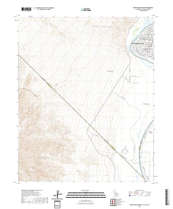
2021 Map of Mount Manchester
USGS Topo · Published 2021About this map
The Colorado River defines this landscape where the boundaries of California, Nevada, and Arizona converge near Bullhead City. This contemporary survey of the tri-state area reveals a stark contrast between the dense residential grid of Riviera and Big Bend and the expansive, arid reaches of the Mojave Desert. The river corridor is the primary focus of development, with numerous named thoroughfares like Riverfront Dr and Marina Blvd supporting a local economy tied to the water. To the west, the rugged elevations of the Newberry Mountains and Dead Mountains rise above the Mohave Valley, illustrating the topographic isolation of the river valley. The map documents modern infrastructure such as the Aha Macav Pkwy and unique desert landmarks like the Camel Trail Oasis, providing a clear view of how high-desert terrain and river access shape community growth.
Find a feature on this map
53 named features on this map. Tap any name to fly to it.
Don’t see what you’re looking for? This feature index may not catch every label — zoom into the map to look around manually.
Map Details
Editions of this 2021 Mount Manchester Map
This is the sole edition of this map. No revisions or reprints were ever made.
Other maps of this area

1886 · Camp Mohave
USGS Topo · 1:250,000

1892 · Camp Mohave
USGS Topo · 1:250,000

1903 · Needles
USGS Topo · 1:125,000

1904 · Needles Special
USGS Topo · 1:125,000

1926 · Mohave City
USGS Topo · 1:96,000

1942 · Camp Mohave
USGS Topo · 1:250,000

1943 · Bannock
USGS Topo · 1:62,500

1947 · Kingman
USGS Topo · 1:250,000

1948 · Kingman
USGS Topo · 1:250,000

1950 · Davis Dam
USGS Topo · 1:62,500