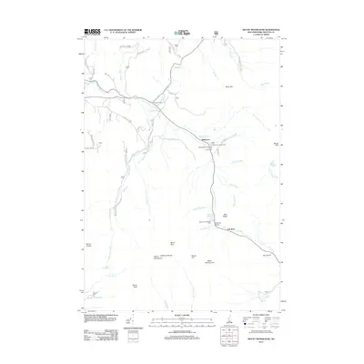
2012 Map of Mount Moosilauke
USGS Topo · Published 2012About this map
Mount Moosilauke and the high peaks of the White Mountains define this landscape, where the Wild Ammonoosuc River and Lost River carve through high-elevation passes. The small settlement of Wildwood serves as a central point for mountain travel, situated near the Wildwood Campground and Picnic Area. Geologic and recreational points of interest are numerous, from the dramatic Jobildunk Ravine and Kinsman Notch to the Beaver Brook Shelter DOC along the steep slopes. The map traces a complex network of mountain drainage, including Tunnel Brook and Gorge Brook, which flow from the shoulders of peaks like Mount Blue and Mount Jim. Local infrastructure is represented by features such as the Borrow Pit and several spur roads, including Noxon Rd, that provide access into the higher terrain. This record of the 21st-century backcountry illustrates the preserved wilderness and hiking infrastructure around the South Peak and Mount Clough.
Find a feature on this map
53 named features on this map. Tap any name to fly to it.
Don’t see what you’re looking for? This feature index may not catch every label — zoom into the map to look around manually.
Map Details
Editions of this 2012 Mount Moosilauke Map
This is the sole edition of this map. No revisions or reprints were ever made.
Other maps of this area

1928 · Plymouth
USGS Topo · 1:62,500

1928 · Rumney
USGS Topo · 1:62,500

1929 · Moosilauke
USGS Topo · 1:62,500

1929 · Franconia
USGS Topo · 1:62,500

1931 · Plymouth
USGS Topo · 1:62,500

1932 · Franconia
USGS Topo · 1:62,500

1932 · Rumney
USGS Topo · 1:62,500

1932 · Moosilauke
USGS Topo · 1:62,500

1949 · Portland
USGS Topo · 1:250,000

1950 · Lewiston
USGS Topo · 1:250,000