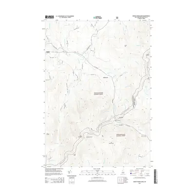
2015 Map of Mount Moosilauke
USGS Topo · Published 2015About this map
Mount Moosilauke and the high peaks of the White Mountain National Forest dominate this landscape during the mid-2010s. The terrain is defined by dramatic elevation changes, notably at Jobildunk Ravine and the passage through Kinsman Notch. Small settlements like Wildwood and Boutin Corner sit along the corridors of RT-116 and Lost River Rd, serving as gateways to the wilderness.
Find a feature on this map
61 named features on this map. Tap any name to fly to it.
Don’t see what you’re looking for? This feature index may not catch every label — zoom into the map to look around manually.
Map Details
Editions of this 2015 Mount Moosilauke Map
This is the sole edition of this map. No revisions or reprints were ever made.
Other maps of this area

1928 · Plymouth
USGS Topo · 1:62,500

1928 · Rumney
USGS Topo · 1:62,500

1929 · Moosilauke
USGS Topo · 1:62,500

1929 · Franconia
USGS Topo · 1:62,500

1931 · Plymouth
USGS Topo · 1:62,500

1932 · Franconia
USGS Topo · 1:62,500

1932 · Rumney
USGS Topo · 1:62,500

1932 · Moosilauke
USGS Topo · 1:62,500

1949 · Portland
USGS Topo · 1:250,000

1950 · Lewiston
USGS Topo · 1:250,000