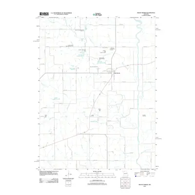
2021 Map of Mount Moriah
USGS Topo · Published 2021About this map
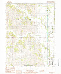
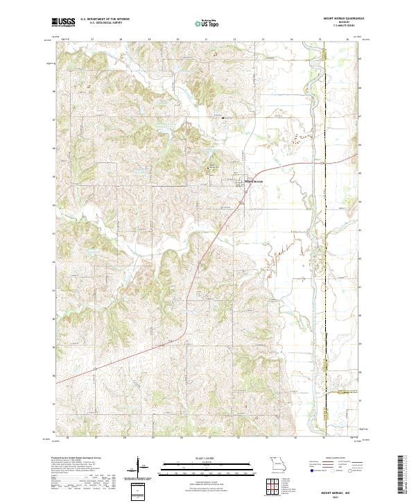
The village of Mount Moriah sits atop the rolling hills of eastern Harrison County, serving as a hub for the surrounding agricultural prairie. This landscape is defined by the winding course of the Thompson River along the eastern boundary and a dense network of tributaries including Panther Cr, Trail Cr, and Cat Cr. The area is notably punctuated by numerous small reservoirs and local impoundments such as Hamilton Lake, G Pitts Lake, and K Camp Leazenby Lake, reflecting modern water management and recreation patterns in rural Missouri.
Find a feature on this map
60 named features on this map. Tap any name to fly to it.
Don’t see what you’re looking for? This feature index may not catch every label — zoom into the map to look around manually.
Map Details
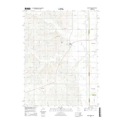
Editions of this 2021 Mount Moriah Map
This is the sole edition of this map. No revisions or reprints were ever made.
Historical Maps of Mount Moriah Through Time
5 maps found