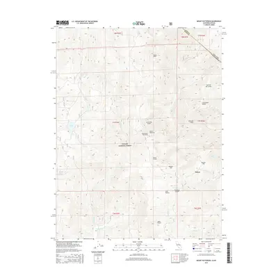
2015 Map of Mount Patterson
USGS Topo · Published 2015About this map
Mount Patterson and the high alpine landscape of the Sweetwater Mountains dominate this high-altitude survey of the eastern Sierra Nevada region. At the center of the sheet, the Toiyabe National Forest encompasses a network of drainage systems including Deep Creek and Swauger Creek, while the settlement of Belfort sits at the base of the mountains near Boulder Flat. The terrain is characterized by a series of steep canyons such as Ferris Canyon and Silverado Canyon that cut through the range toward the state line.
Find a feature on this map
35 named features on this map. Tap any name to fly to it.
Don’t see what you’re looking for? This feature index may not catch every label — zoom into the map to look around manually.
Map Details
Editions of this 2015 Mount Patterson Map
This is the sole edition of this map. No revisions or reprints were ever made.
Other maps of this area

1891 · Wellington
USGS Topo · 1:125,000

1893 · Wellington
USGS Topo · 1:125,000

1909 · Bridgeport
USGS Topo · 1:125,000

1911 · Bridgeport
USGS Topo · 1:125,000

1920 · Bridgeport
USGS Topo · 1:125,000

1948 · Walker Lake
USGS Topo · 1:250,000

1954 · Chris Flat
USGS Topo · 1:24,000

1954 · Fales Hot Springs
USGS Topo · 1:24,000

1956 · Desert Creek Peak
USGS Topo · 1:62,500

1956 · Fales Hot Springs
USGS Topo · 1:62,500