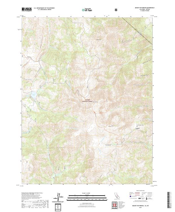
2021 Map of Mount Patterson
USGS Topo · Published 2021About this map
Mt Patterson rises as the dominant peak in this section of the Toiyabe National Forest, marking the high-altitude terrain along the Nevada-California border. The map captures the complex drainage systems of the Sweetwater Mountains, where waters from Swauger Cr and Desert Cr flow through deeply incised features like Silverado Canyon and Ferris Canyon. The settlement of Belfort sits near Boulder Flat, providing a specific point of interest for those researching the high-country history of Mono County. A network of backcountry routes, including the Lobdell Lake - Jackass Flat Rd Trl and Silverado Trl, connect landmarks such as Lobdell Lake and South Sister. This survey illustrates the transition from steep mountain peaks to broader subalpine clearings like Long Meadow, reflecting the pastoral and mining-era footprints left on the landscape.
Find a feature on this map
43 named features on this map. Tap any name to fly to it.
Don’t see what you’re looking for? This feature index may not catch every label — zoom into the map to look around manually.
Map Details
Editions of this 2021 Mount Patterson Map
This is the sole edition of this map. No revisions or reprints were ever made.
Other maps of this area

1891 · Wellington
USGS Topo · 1:125,000

1893 · Wellington
USGS Topo · 1:125,000

1909 · Bridgeport
USGS Topo · 1:125,000

1911 · Bridgeport
USGS Topo · 1:125,000

1920 · Bridgeport
USGS Topo · 1:125,000

1948 · Walker Lake
USGS Topo · 1:250,000

1954 · Chris Flat
USGS Topo · 1:24,000

1954 · Fales Hot Springs
USGS Topo · 1:24,000

1956 · Desert Creek Peak
USGS Topo · 1:62,500

1956 · Fales Hot Springs
USGS Topo · 1:62,500