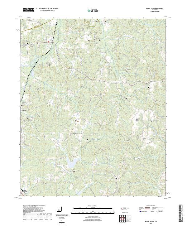
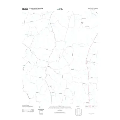
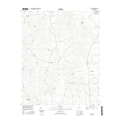
2022 Map of Mount Peter
USGS Topo · Published 2022About this map
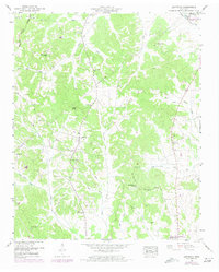
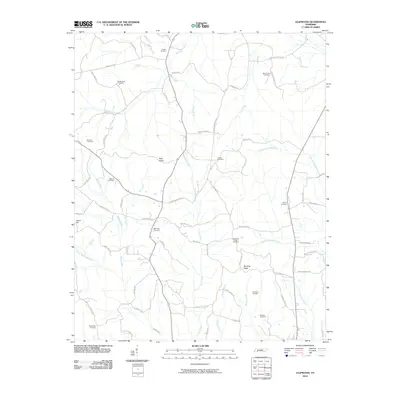
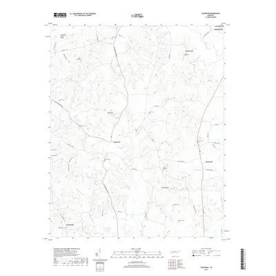
The Tennessee Valley Divide snakes through this portion of McNairy and Chester counties, marking a significant hydrologic boundary in the western Tennessee landscape. Small settlements like Finger and McNairy are connected by a dense network of country roads such as Finger Leapwood Rd and Center Hill Rd. The map is particularly notable for its high concentration of family and community burial sites, including the Anderson Slave Cem, White Plains Cem, and Rose Hill Cem, which offer significant value for genealogical research.
Find a feature on this map
110 named features on this map. Tap any name to fly to it.
Don’t see what you’re looking for? This feature index may not catch every label — zoom into the map to look around manually.
Map Details
Editions of this 2022 Mount Peter Map
This is the sole edition of this map. No revisions or reprints were ever made.
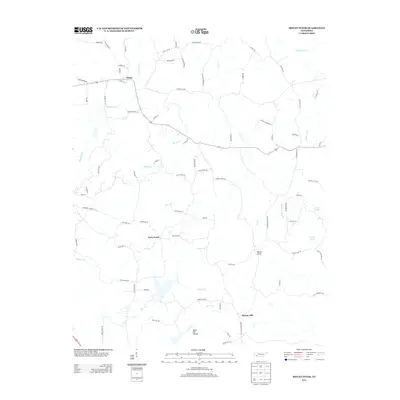
Historical Maps of Bethel Springs Through Time
27 maps found
1936 Leapwood
McNairy County, TN
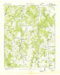
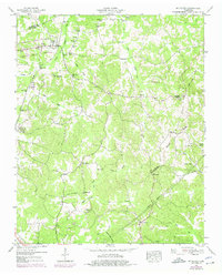
1936 Mt. Peter
McNairy County, TN
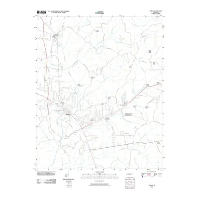
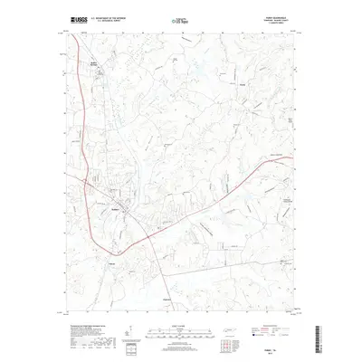
1936 Purdy
McNairy County, TN
1949 Leapwood
McNairy County, TN
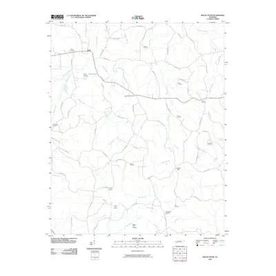
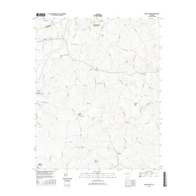
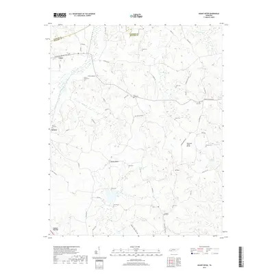
1949 Mt Peter
McNairy County, TN
1949 Purdy
McNairy County, TN
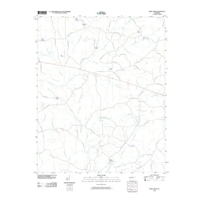
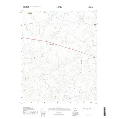
1951 Rose Creek
McNairy County, TN
2010 Leapwood
McNairy County, TN
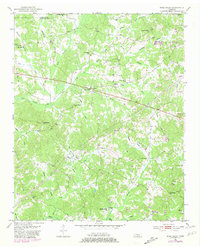
2010 Mount Peter
McNairy County, TN
2010 Purdy
McNairy County, TN
2010 Rose Creek
McNairy County, TN
2013 Leapwood
McNairy County, TN
2013 Mount Peter
McNairy County, TN
2013 Purdy
McNairy County, TN
2013 Rose Creek
McNairy County, TN
2016 Leapwood
McNairy County, TN
2016 Mount Peter
McNairy County, TN
2016 Purdy
McNairy County, TN
2016 Rose Creek
McNairy County, TN
2019 Leapwood
McNairy County, TN
2019 Mount Peter
McNairy County, TN
2019 Purdy
McNairy County, TN
2019 Rose Creek
McNairy County, TN
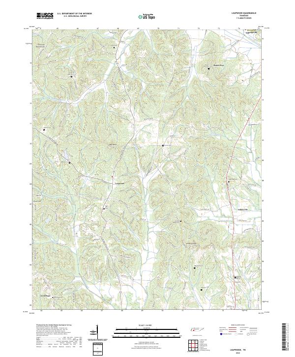
2022 Leapwood
McNairy County, TN
2022 Mount Peter
McNairy County, TN
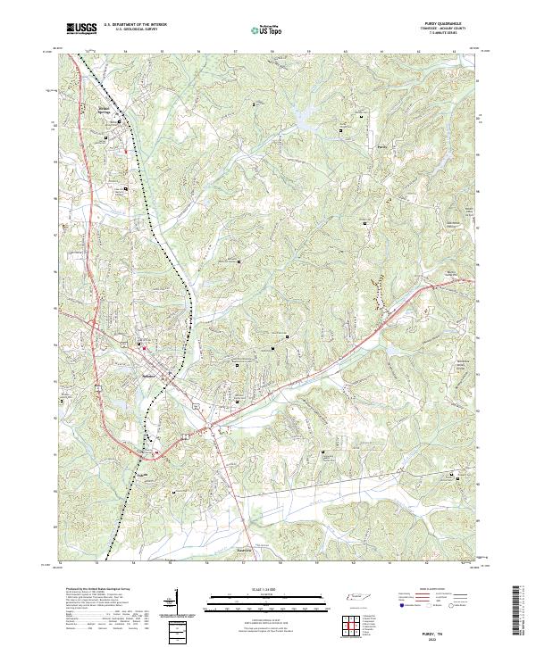
2022 Purdy
McNairy County, TN
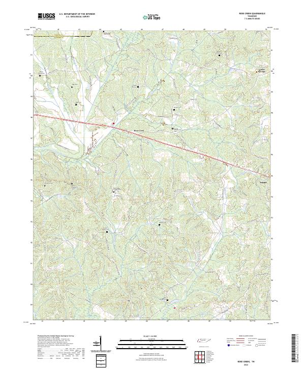
2022 Rose Creek
McNairy County, TN