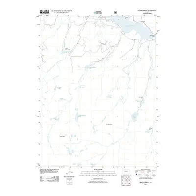
2011 Map of Mount Powell
USGS Topo · Published 2011About this map
Heeney serves as the primary gateway to a high-elevation watershed defined by complex water management and massive topographical relief. The northern reaches are dominated by the Green Mountain Reservoir and the drainage of Elliott Creek, while the Noonan Ditch reveals historical efforts to divert water through this alpine environment. As the elevation climbs toward the southern peaks, the landscape becomes a dense network of high-country basins containing Lower Cataract Lake, Tipperary Lake, and Mirror Lake.
Find a feature on this map
39 named features on this map. Tap any name to fly to it.
Don’t see what you’re looking for? This feature index may not catch every label — zoom into the map to look around manually.
Map Details
Editions of this 2011 Mount Powell Map
This is the sole edition of this map. No revisions or reprints were ever made.
Other maps of this area

1929 · Dillon
USGS Topo · 1:62,500

1933 · Mt. Powell
USGS Topo · 1:48,000

1933 · Ute Peak
USGS Topo · 1:62,500

1934 · Minturn
USGS Topo · 1:62,500

1934 · Dillon
USGS Topo · 1:62,500

1937 · Ute Peak
USGS Topo · 1:62,500

1940 · Mount Powell
USGS Topo · 1:62,500

1950 · Minturn
USGS Topo · 1:62,500

1957 · Leadville
USGS Topo · 1:250,000

1959 · Leadville
USGS Topo · 1:250,000