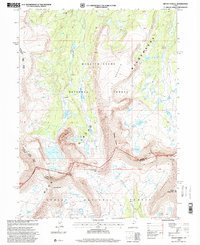
1996 Map of Mount Powell
USGS Topo · Published 2000About this map
Kings Peak and the surrounding high-altitude terrain of the Uinta Mountains dominate this late 20th-century survey. The landscape is defined by the hydrologic divide along the Summit and Duchesne County line, where water flows from the massive shoulders of Mount Powell into the East Fork Smiths Fork and Yellowstone Creek. The presence of Red Castle—a distinctive geological formation overlooking Red Castle Lake—illustrates the dramatic glacial carving of the range.
Find a feature on this map
41 named features on this map. Tap any name to fly to it.
Don’t see what you’re looking for? This feature index may not catch every label — zoom into the map to look around manually.
Map Details
Editions of this 1996 Mount Powell Map
This is the sole edition of this map. No revisions or reprints were ever made.
Other maps of this area

1885 · Uinta
USGS Topo · 1:250,000

1901 · Hayden Peak
USGS Topo · 1:125,000

1903 · Hayden Peak
USGS Topo · 1:125,000

1905 · Gilbert Peak
USGS Topo · 1:125,000

1906 · Gilbert Peak
USGS Topo · 1:125,000

1954 · Salt Lake City
USGS Topo · 1:250,000

1958 · Salt Lake City
USGS Topo · 1:250,000

1960 · Salt Lake City
USGS Topo · 1:250,000

1965 · Mount Emmons
USGS Topo · 1:24,000
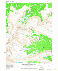
1965 · Kings Peak
USGS Topo · 1:24,000