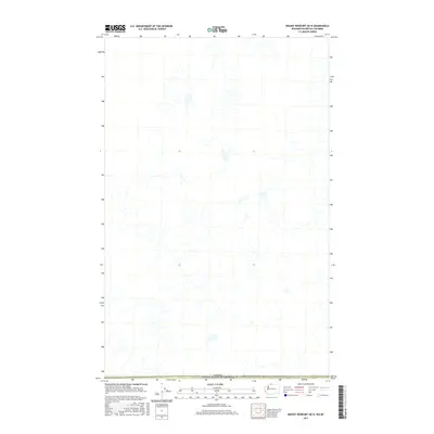
2017 Map of Mount Redoubt OE N
USGS Topo · Published 2017About this map
The Canada United States of America international boundary defines the southern limit of this high-latitude survey, which focuses on the drainage patterns of the British Columbia wilderness. While the landscape lacks named settlements or developed infrastructure, the complex network of alpine tributaries and glacial headwaters demonstrates the intricate hydrology of the Fraser Valley Regional District. This survey, compiled from data provided by the U.S. Geological Survey and various Canadian and American agencies, provides a precise look at the natural contours and watercourses of the Chilliwack River Valley region. Researchers can trace the seasonal flow of unnamed streams as they move across the border, reflecting the transboundary nature of this remote montane environment during the early twenty-first century.
Find a feature on this map
1 named feature on this map. Tap any name to fly to it.
Don’t see what you’re looking for? This feature index may not catch every label — zoom into the map to look around manually.
Map Details
Editions of this 2017 Mount Redoubt OE N Map
This is the sole edition of this map. No revisions or reprints were ever made.
Other maps of this area
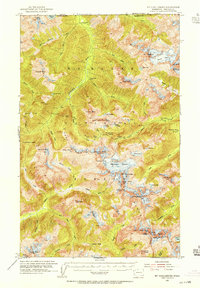
1953 · Mt Challenger
USGS Topo · 1:62,500

1955 · Concrete
USGS Topo · 1:250,000

1958 · Concrete
USGS Topo · 1:250,000

1962 · Concrete
USGS Topo · 1:250,000
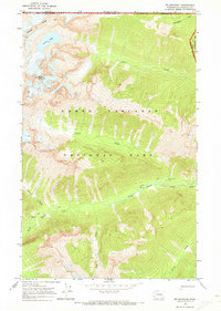
1969 · Mt Spickard
USGS Topo · 1:24,000
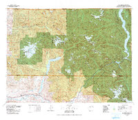
1979 · Mt. Baker
USGS Topo · 1:100,000
1989 · Copper Mountain
USGS Topo · 1:24,000
1989 · Mt Redoubt
USGS Topo · 1:24,000
2011 · Mount Spickard
USGS Topo · 1:24,000
2011 · Copper Mountain
USGS Topo · 1:24,000